Islands
Mull: The Ross of Mull
*I am in the process of redesigning this section*
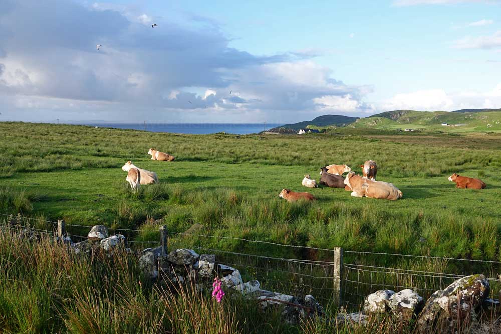
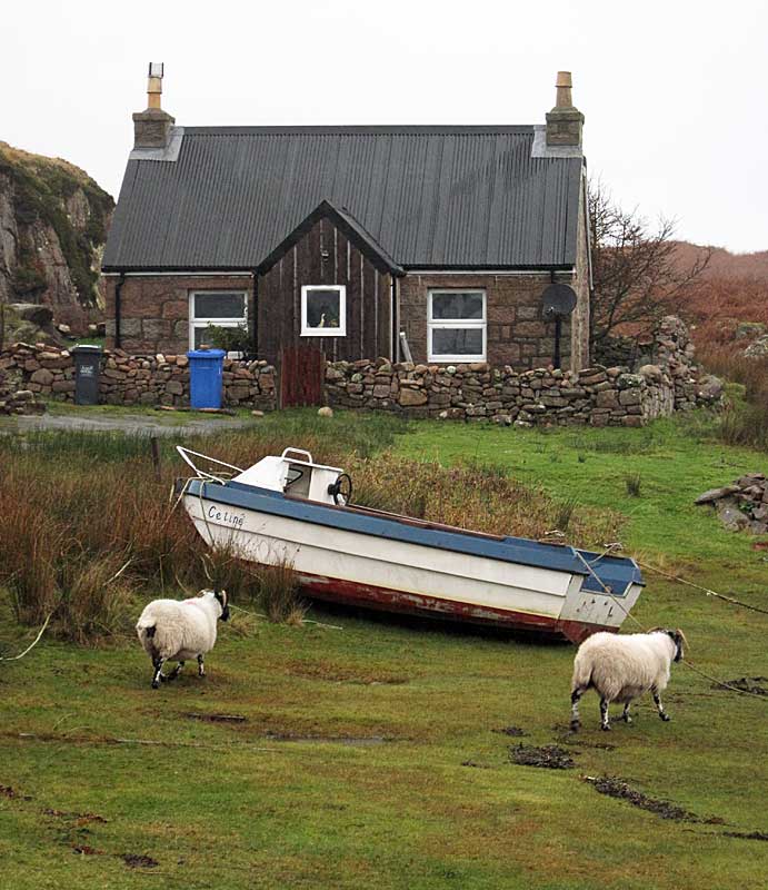
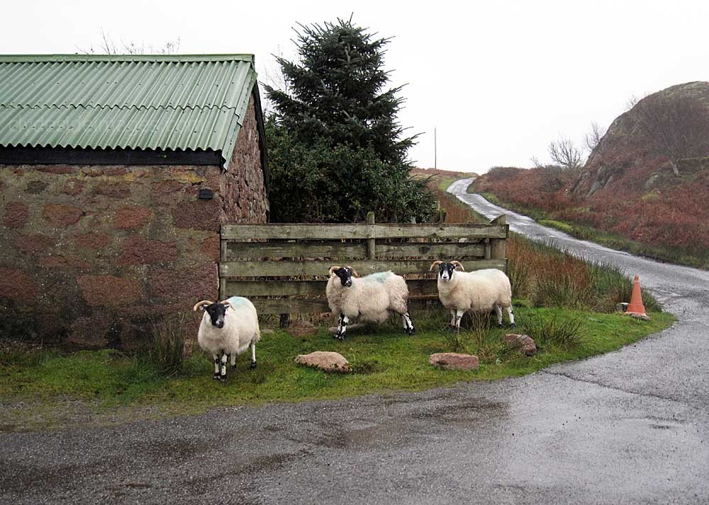
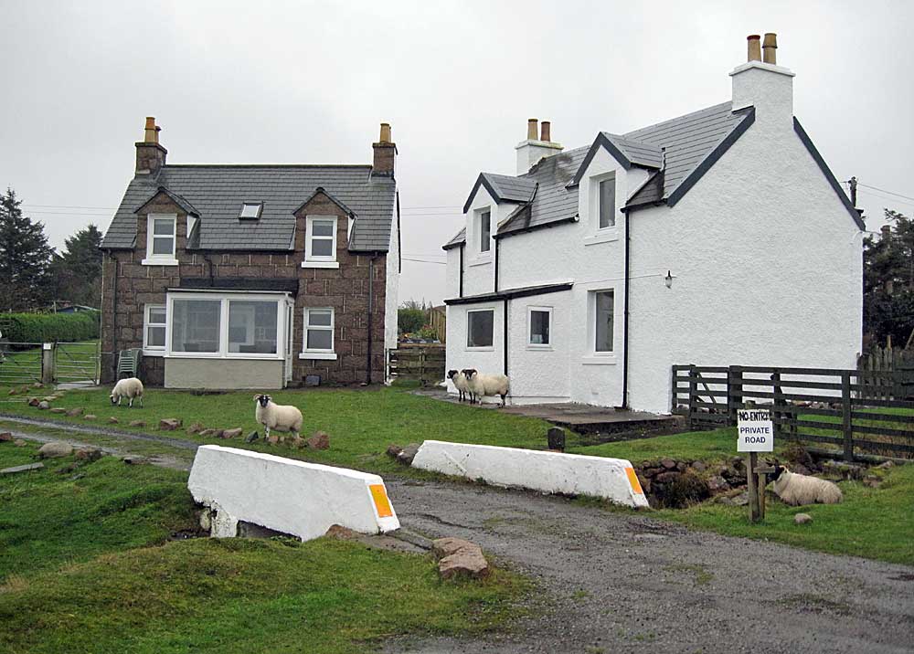
The Ross of Mull is the largest peninsula on the island, about 17 miles (28 kilometres) long, and makes up the south-western part of Mull. It is bounded to the north by Loch Scridain and to the south by the Firth of Lorne. The main villages are Bunessan and Fionnphort, with smaller settlements including Ardtun, Camas, Carsaig, Knockan, Pennyghael and Uisken. Knocknafenaig, Suidhe, and Shiaba are three of the many cleared settlements on the peninsula. Historically the area's main industries consisted of crofting, fishing, kelp farming and granite quarries. By 2011, the tourism had become the greatest industry accounting for almost 30 percent of employment, while between them farming and fishing made up only 15%.
Bunessan
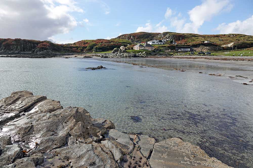
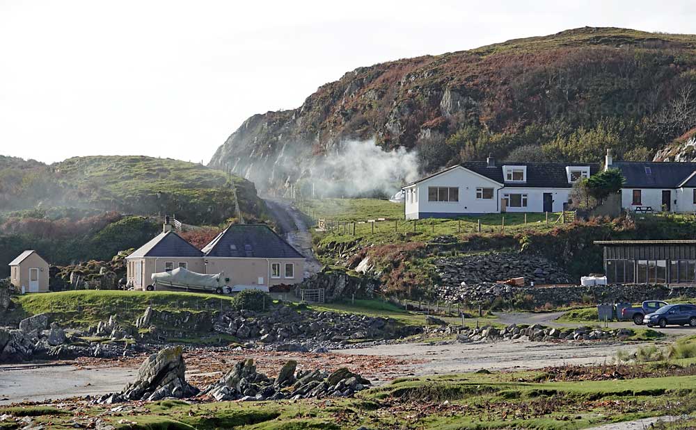
Bunessan is the largest village on the Ross of Mull and the only sizeable settlement passed on the 38 mile journey between the Oban ferry terminal at Craignure and Fionnphort at the island’s southwest tip where you can catch the small ferry to Iona. The community at Bunessan was originally established by the 5th Duke of Argyll in the late 1700s to run a fishing station and, centuries later, several lobster boats still operate from the small pier.
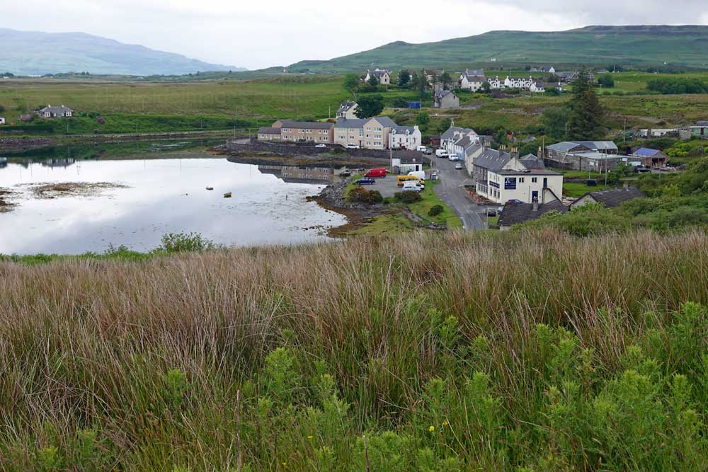
The name Bunessan comes from the Gaelic for ‘the place at the bottom of the small waterfall’ but it has to be said that the village, which clusters around the head of Loch na Làthaich, near the western tip of the Ross of Mull is not a very attractive place. Much of the bad press is due to the fact that most of the buildings along the waterfront face north or north west and are backed by a steep hillside which means that even on nice days they see very little sun, often none at all in wintertime.
|
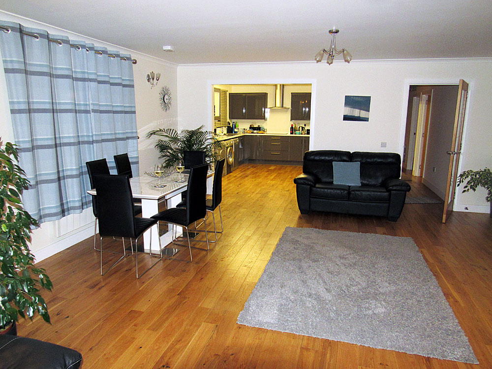
Therefore, perhaps unfairly, Bunessan is probably somewhere that most people are happy to pass through but, as I discovered, there are some quality properties available for rental, including Lochside where my wife and I stayed.
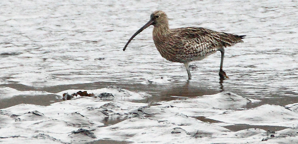
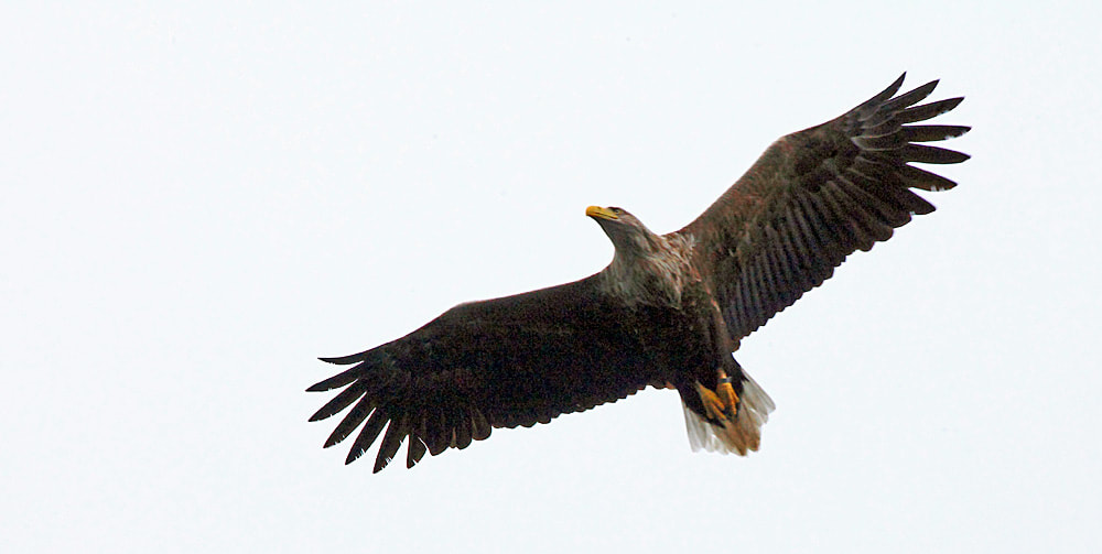
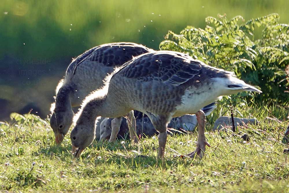
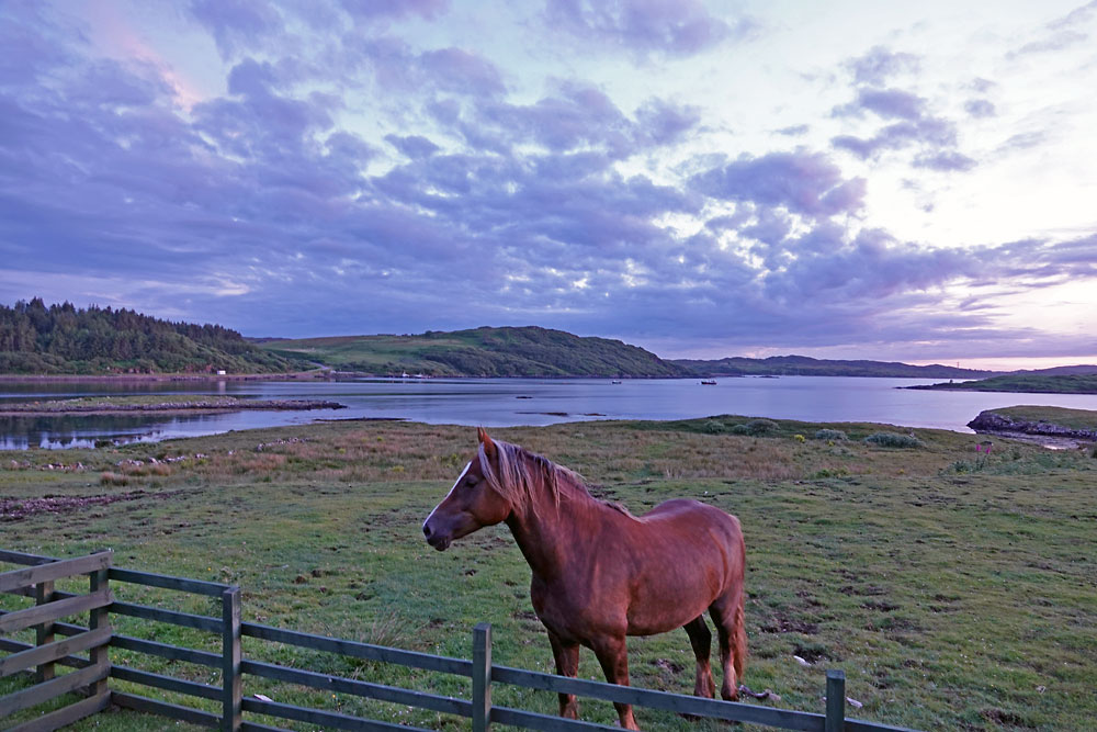
The village makes an excellent base for exploring this wildlife-rich area. You don’t even have to search too hard either - on our first day, an Otter could be seen from the cottage window swimming around in the bay for 90 minutes or so and the following morning a Sea Eagle flew in during a storm and landed on one of the small islands. |
|
|
|
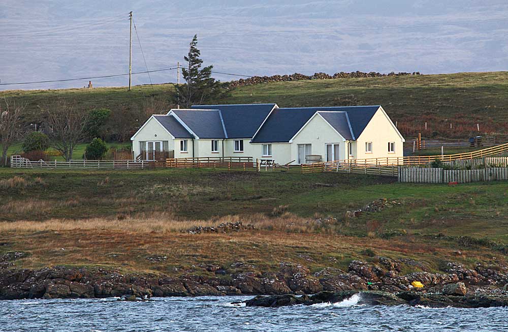
Lochside is the yellow-coloured house 3rd from the right in this view from Bunessan pier.
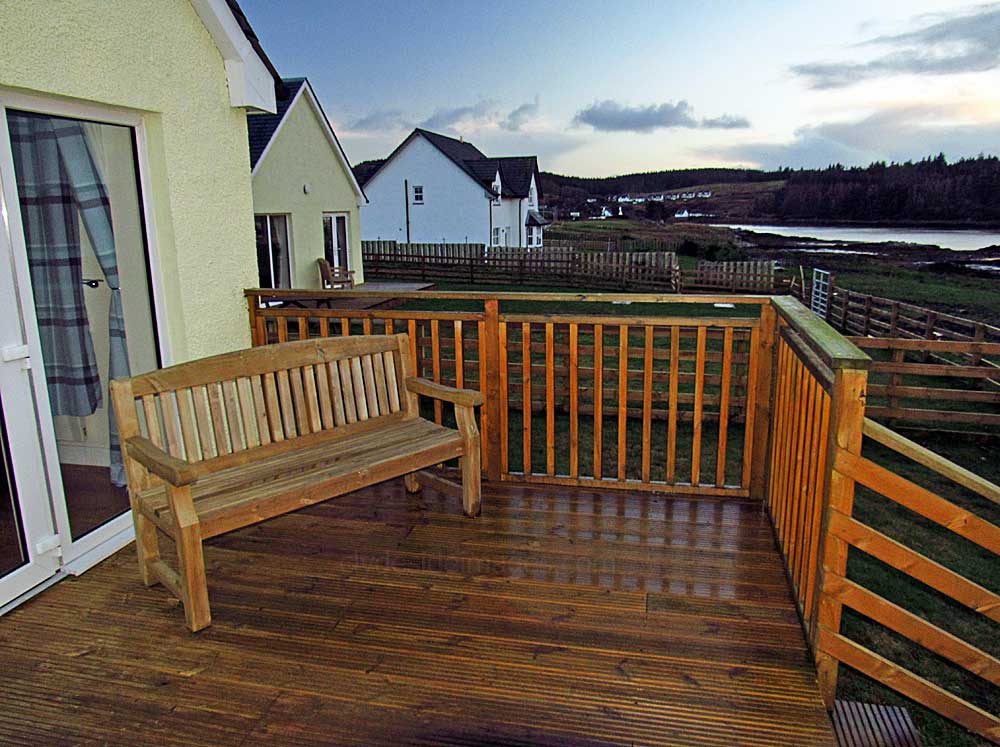
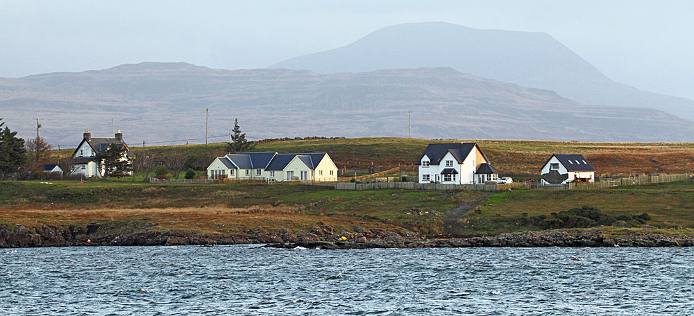
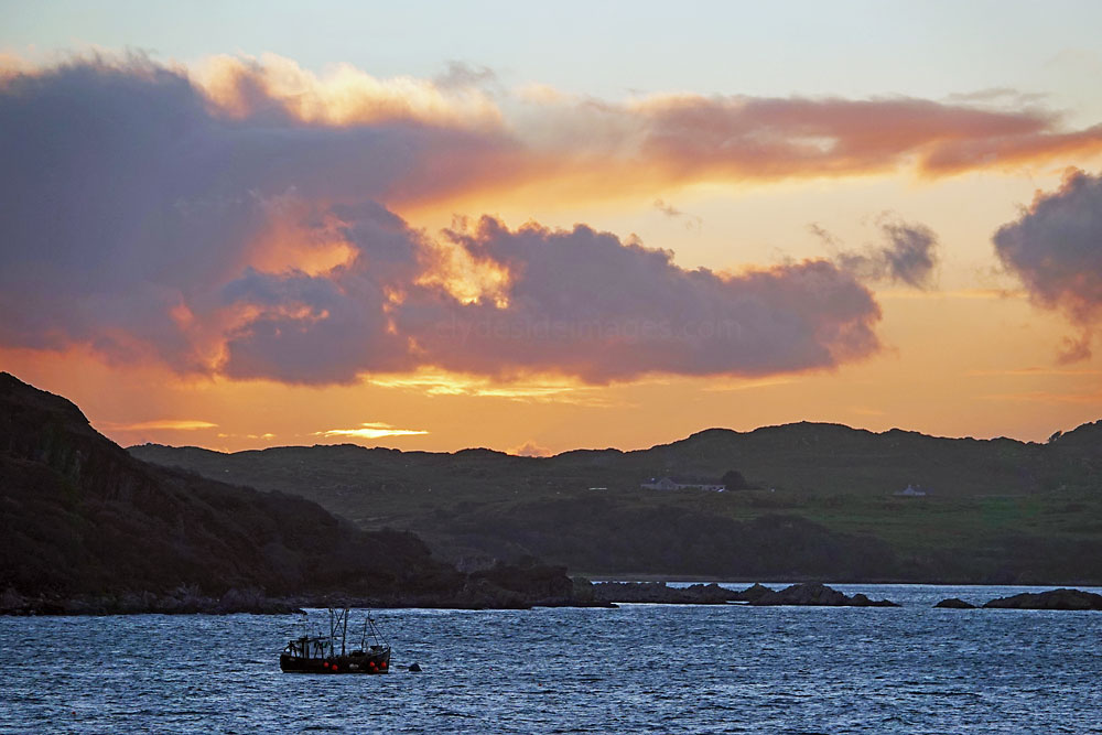
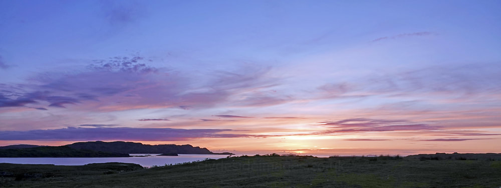
Lochside and some of the other holiday lets are strung along the eastern shore of Loch na Làthaich so, unlike the properties of the main village, they receive plenty of sunshine and benefit from panoramic views. They are also ideally placed for visitors to witness some of the spectacular west coast sunsets that Scotland is famous for. This one occurred in early November at the end of a very stormy day...
|
|
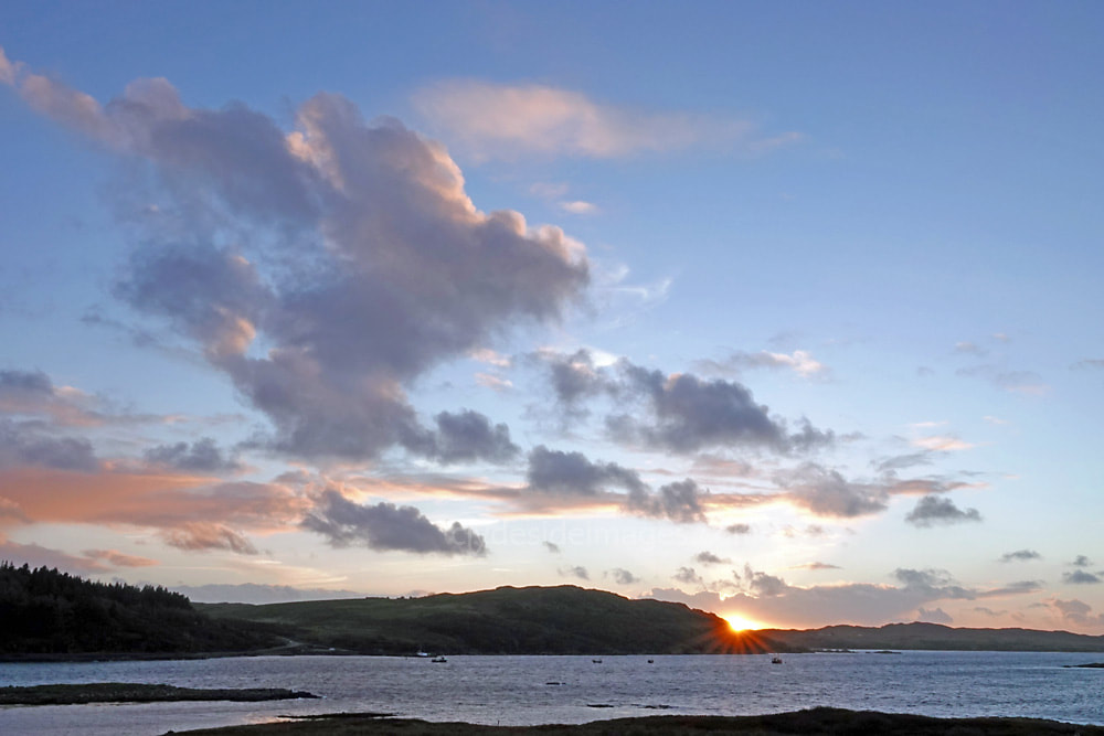
A late October sunset.
|
|
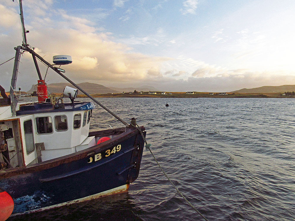
Lady Jane (OB-349) alongside the pier at Bunnessan. She is pictured below heading out to attend to lobster creels on a blustery November day. The shot was taken from Lochside cottage. Waterfalls, particularly those on the west side of the island, are often blown uphill even on only moderately windy days.
|
|
|
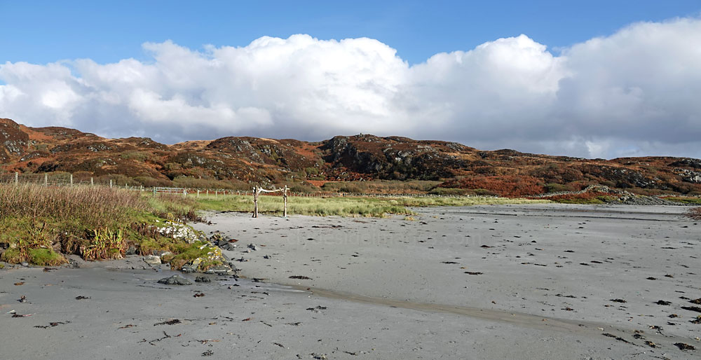
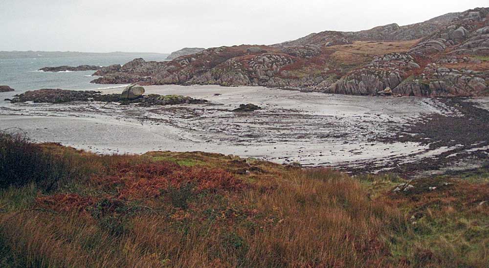
Ardlanish Bay
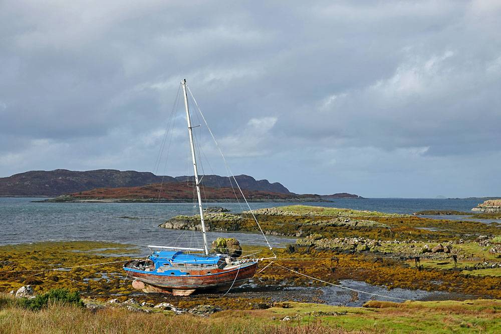
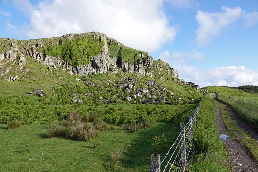
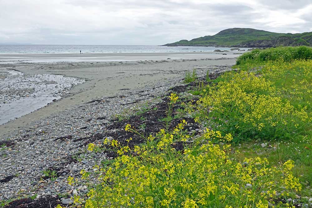
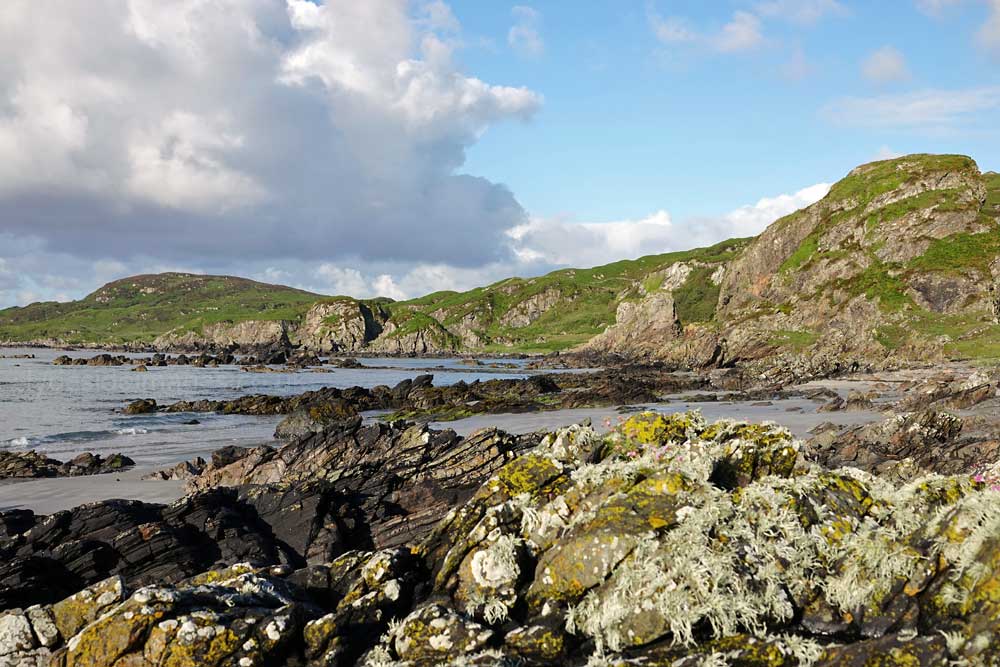
At Bunessan, the width of the Ross of Mull narrows to less than two miles and there are some excellent small beaches along its length. The minor road that leads south from Bunessan, gives access to two gems, at Ardalanish Bay and at Uisken. Each one can compete with any of the others on Mull for scenic splendour, including the most popular beach at Calgary Bay, plus there`s a really good chance of a few wildlife encounters along the way.
Above: On the road to Uisken just before the turn off for Ardalanish Beach.
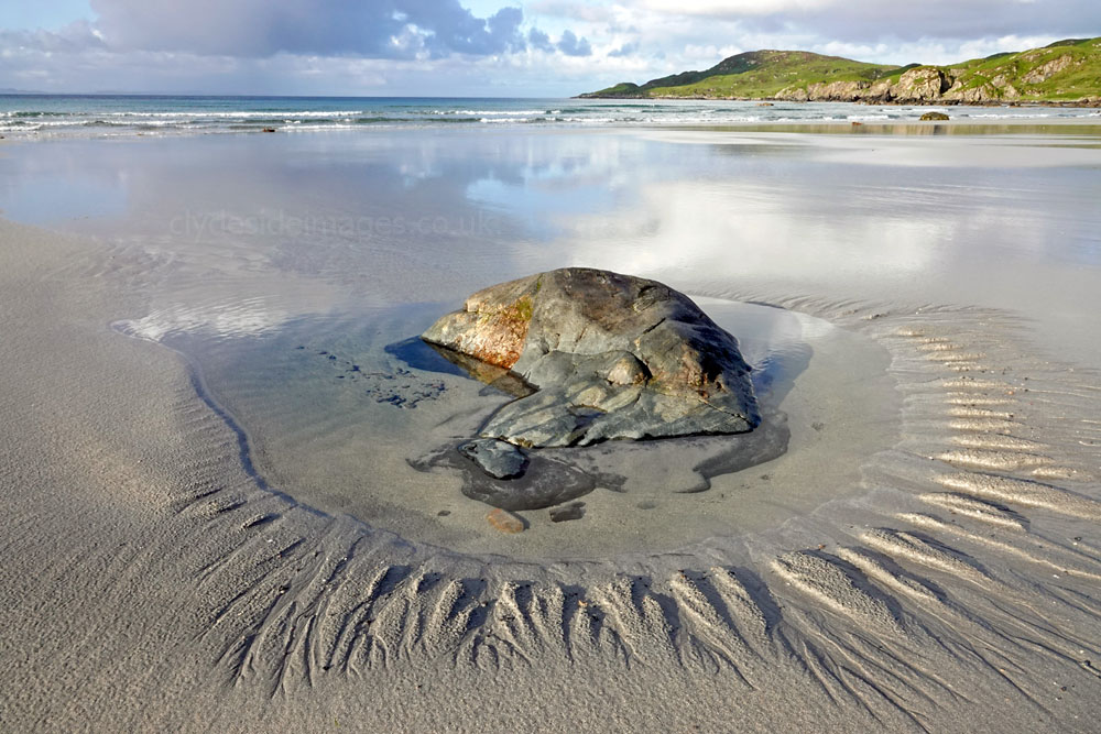
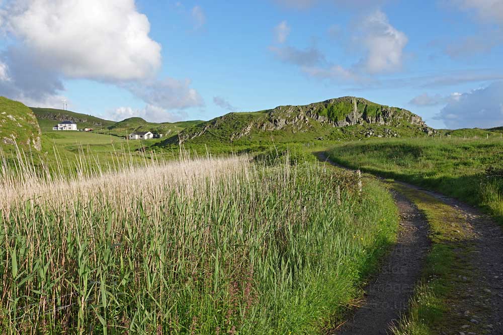
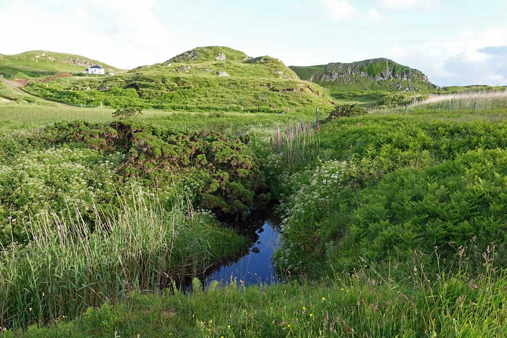
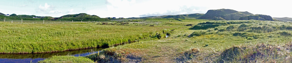
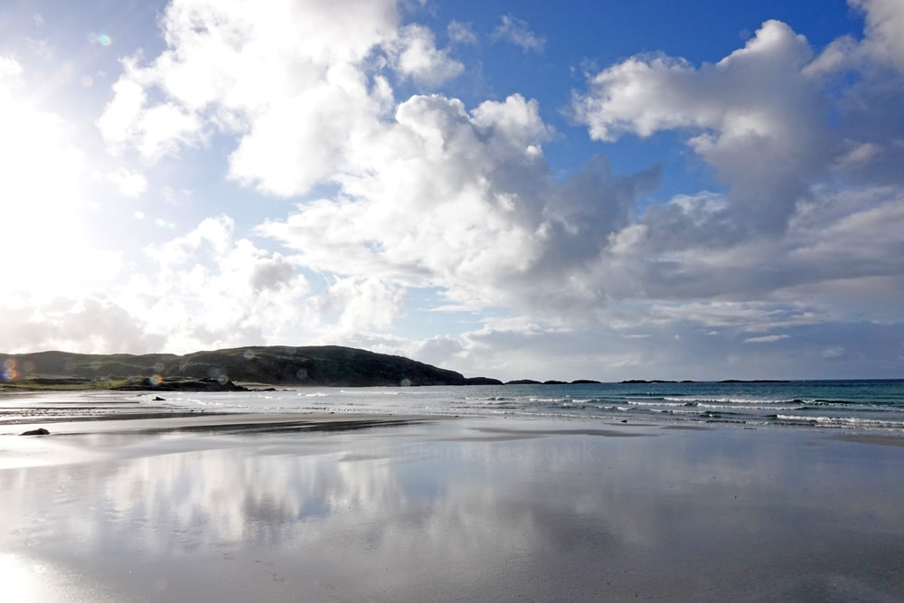
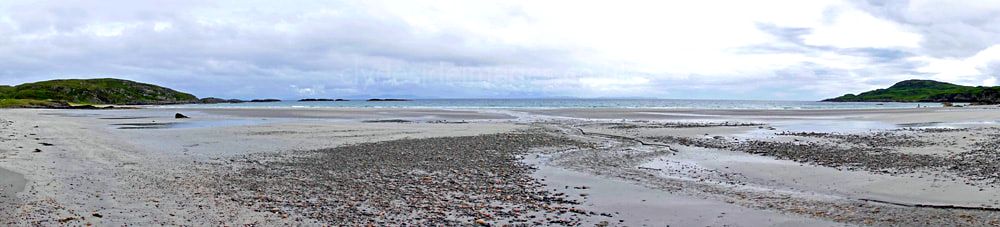
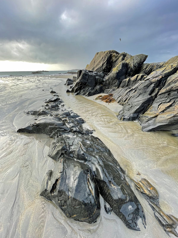
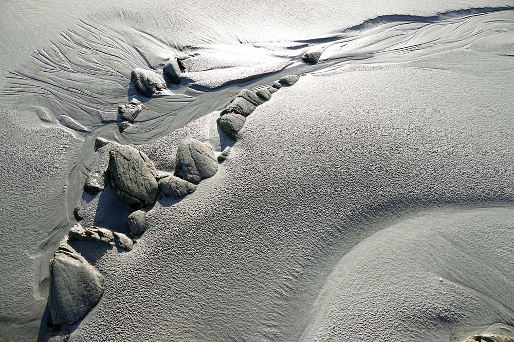
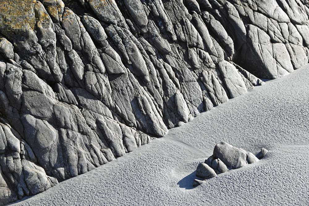
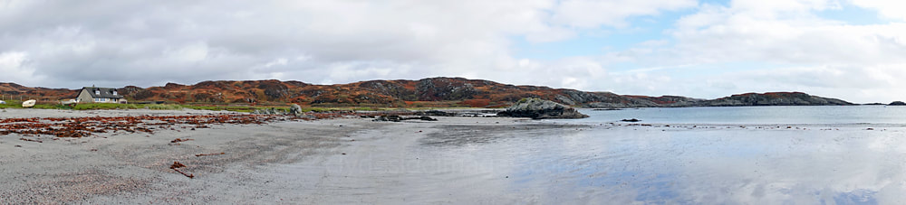
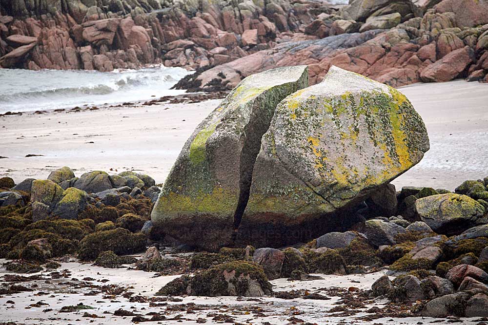
Ardalanish Beach, a long stretch of silver sand, fringed with machair from June to September, is the longest beach on Mull and famed for its geology and views out to Jura. To reach Ardalanish Bay take the turnoff for Uisken from Bunessan, then follow the signs for Ardalanish Weavers. From the signed beach car park just before Ardalanish Farm, a path leads downhill to a shimmering mile-long sandy expanse.
|
|
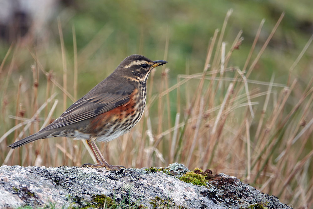
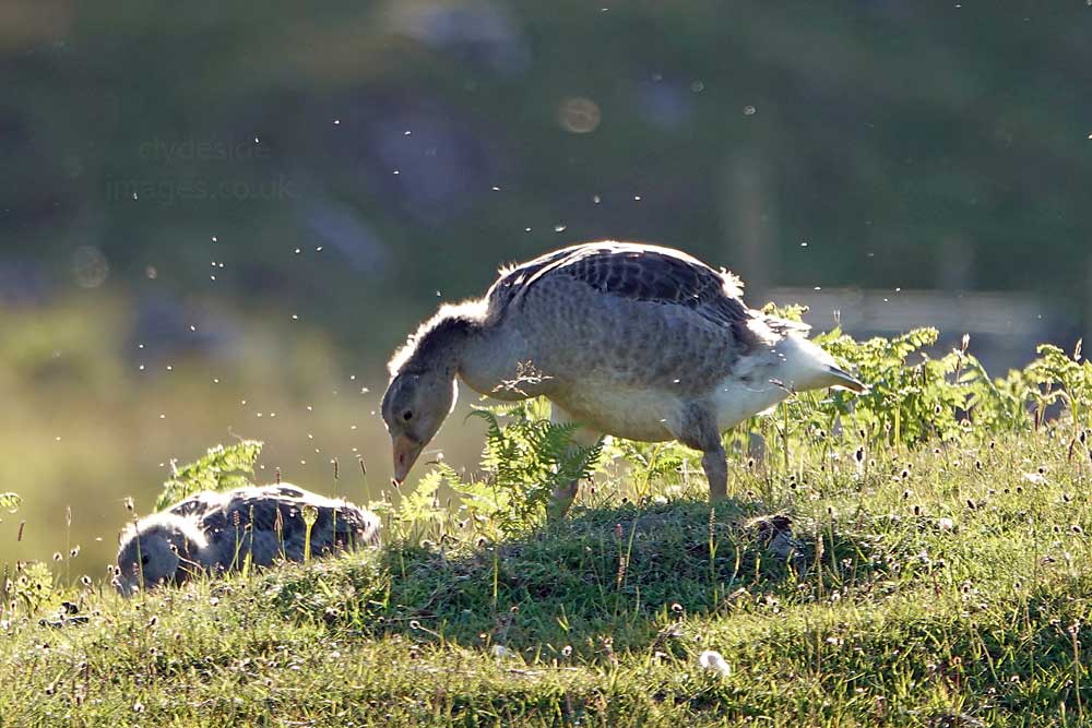
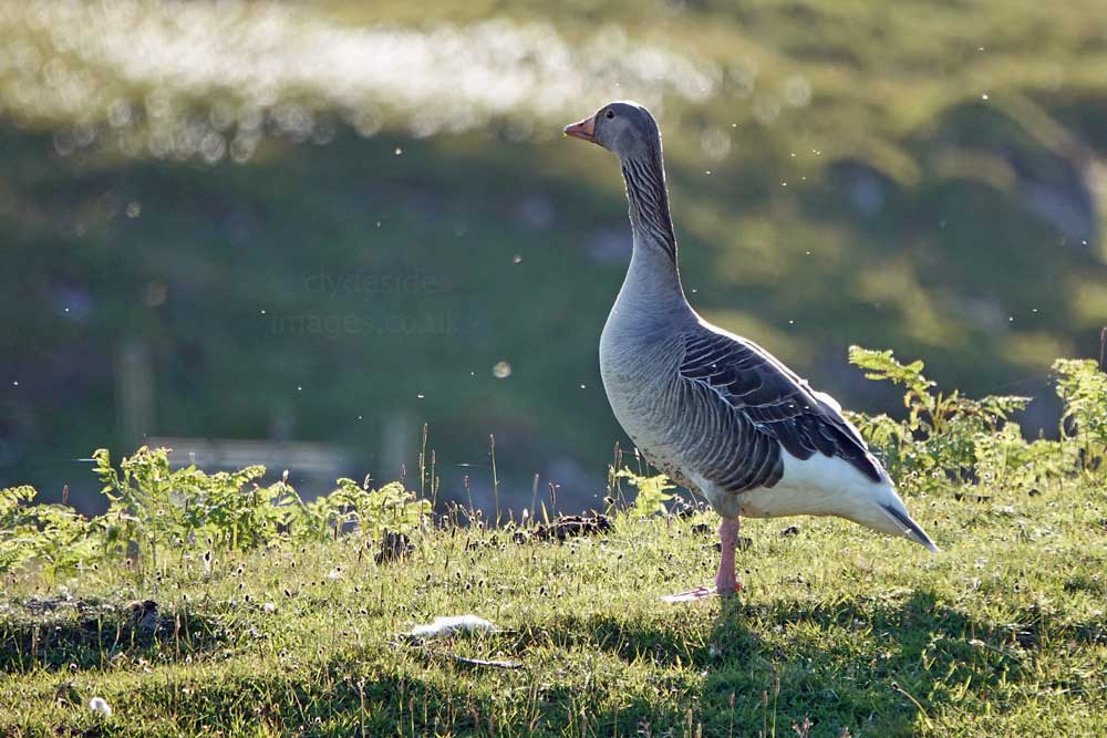
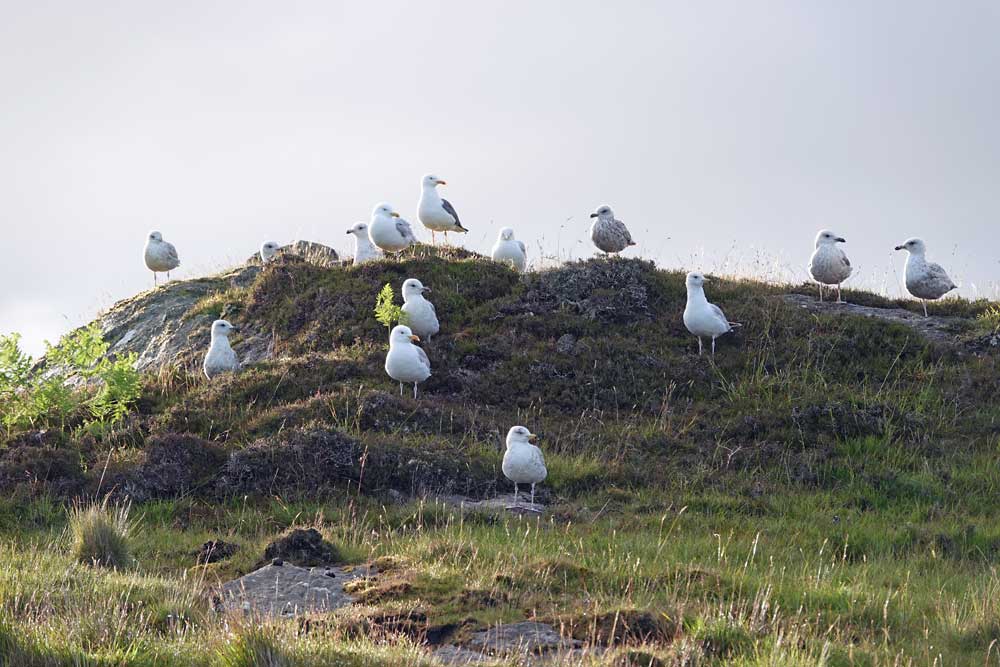
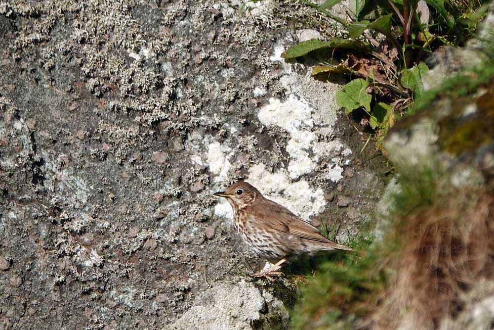
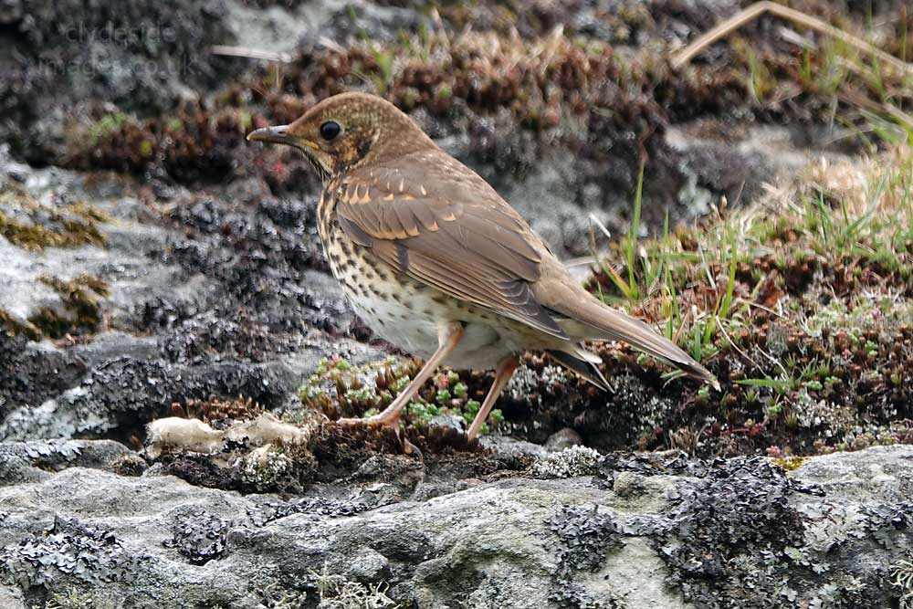
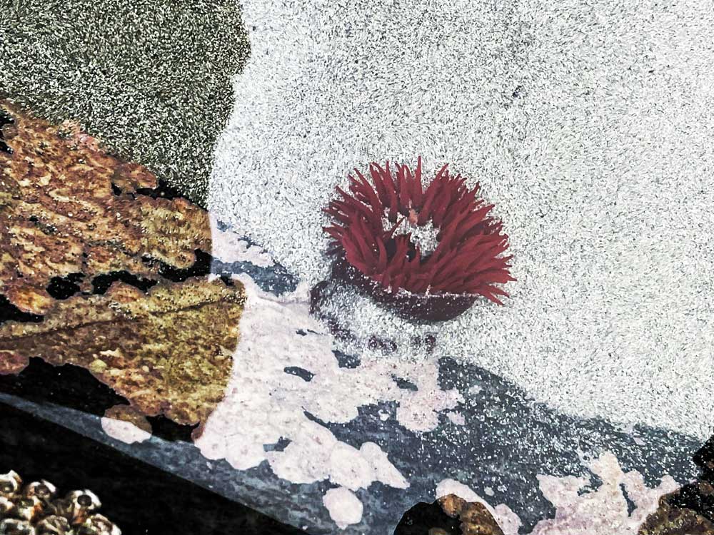
Ardalanish Beach is a great place for wildlife year-round. Common dolphins are frequently spotted off the coast and seals can be seen bobbing around in the breakers. In winter the fields are full of flocks of Golden Plover, Ringed Plover and Lapwings, with Great Northern Diver offshore and eagles occasionally patrolling overhead.
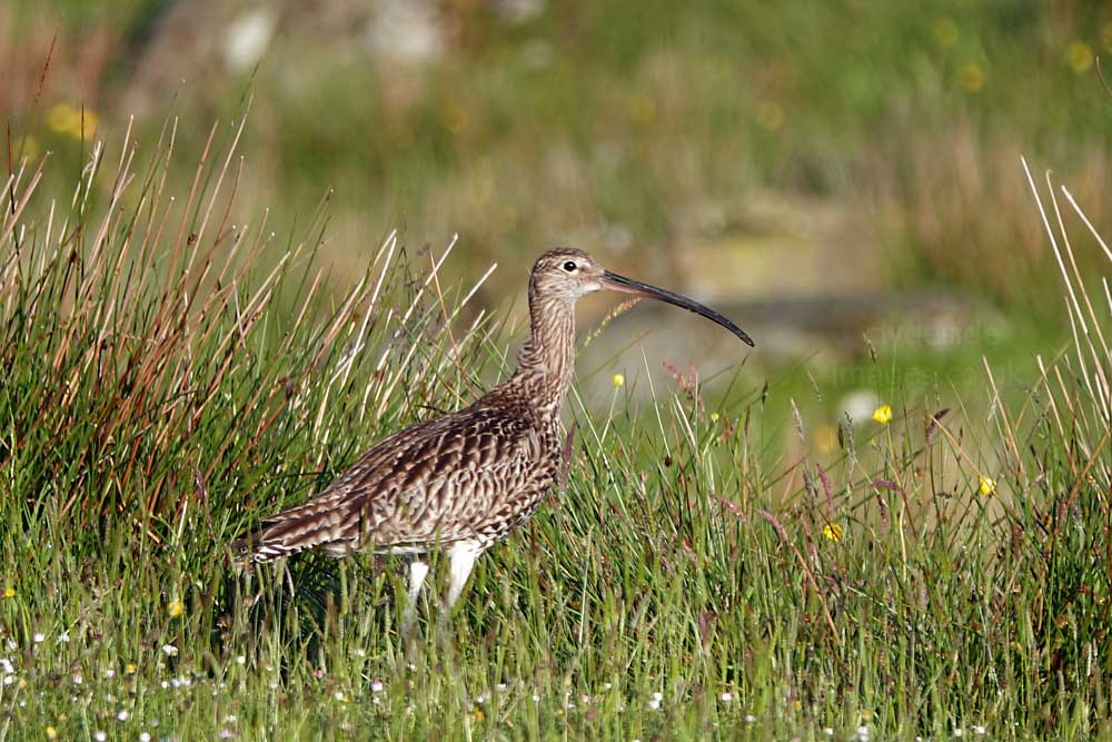
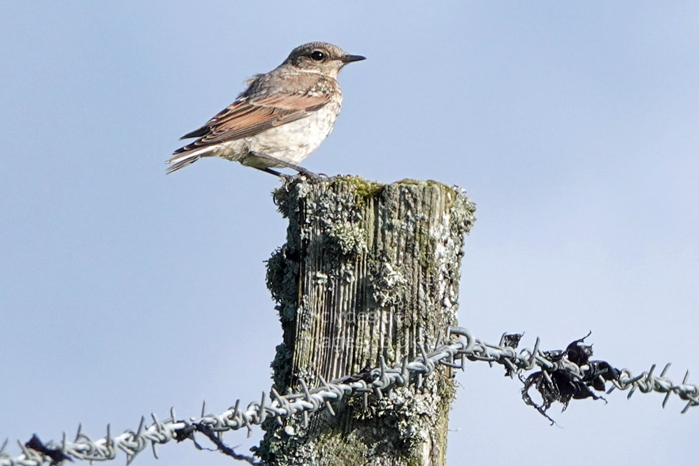
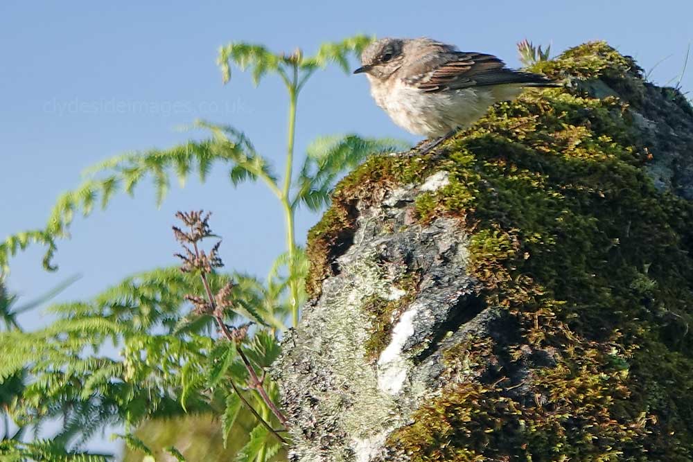
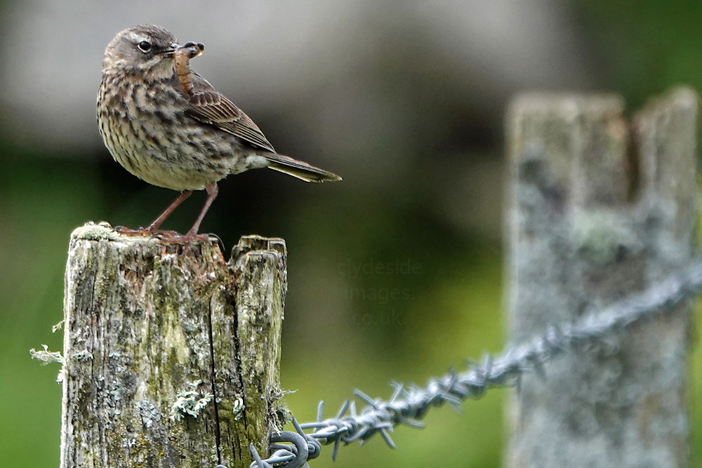
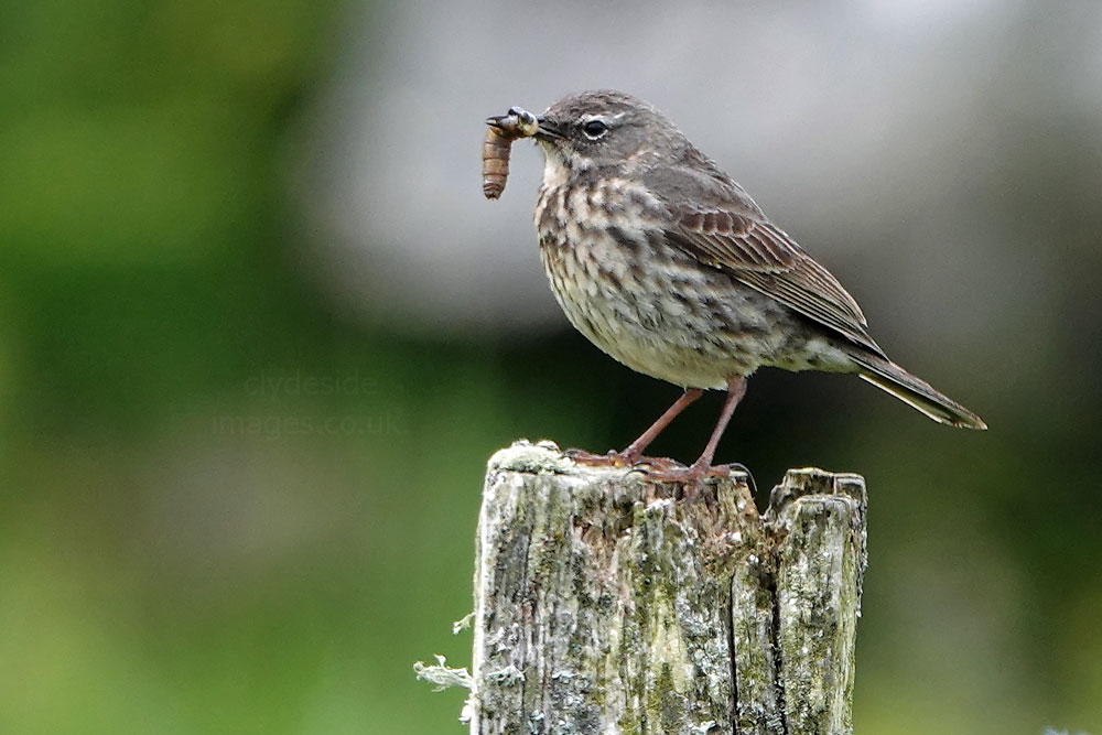
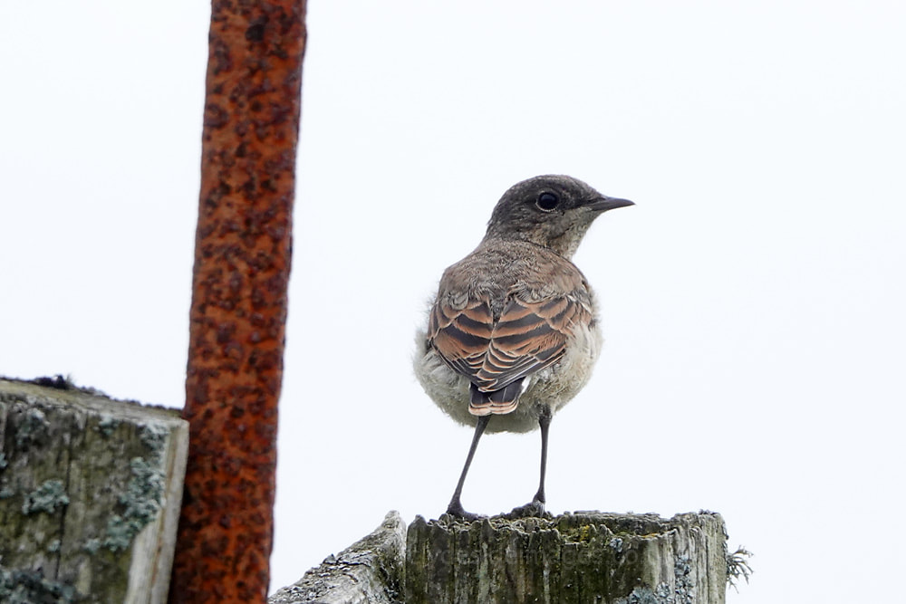
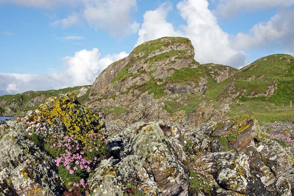
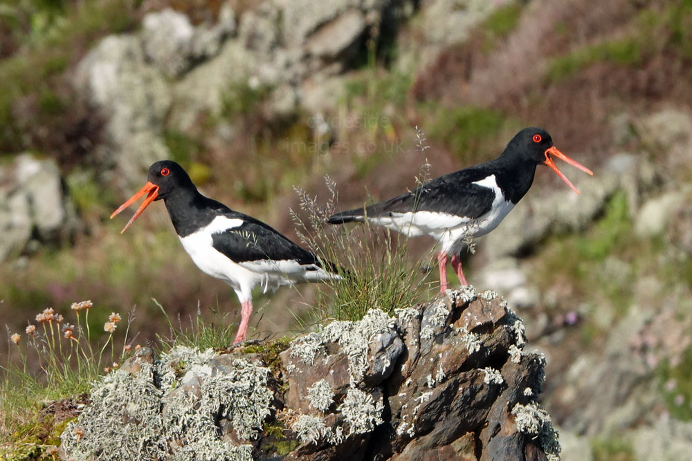
These shots were all taken in mid-June when the young of numerous bird species were taking to the air for the first time. The crags immediately south of the parking area were covered in thick ivy and Swallows and Wheatear had built their nests there. Wren, Sedge Warbler, Meadow Pipit and Rock Pipits were among the types seen during a couple of walks.


The path continues past a reed bed then a channel containing a burn that flows down to the beach where it fans out across the sand. Swallows and House Martins were continuously swooping low, following the watercourse to scoop up and feed on the numerous flies, midges and other insects gathered there.
|
|
Above: Looking back in the direction of the car park from the low dunes at the edge of the beach.
An early morning view - Don`t be surprised if you have the beach to yourself!
|
|
The Ross of Mull New Year’s Day Shinty Match takes place here annually.
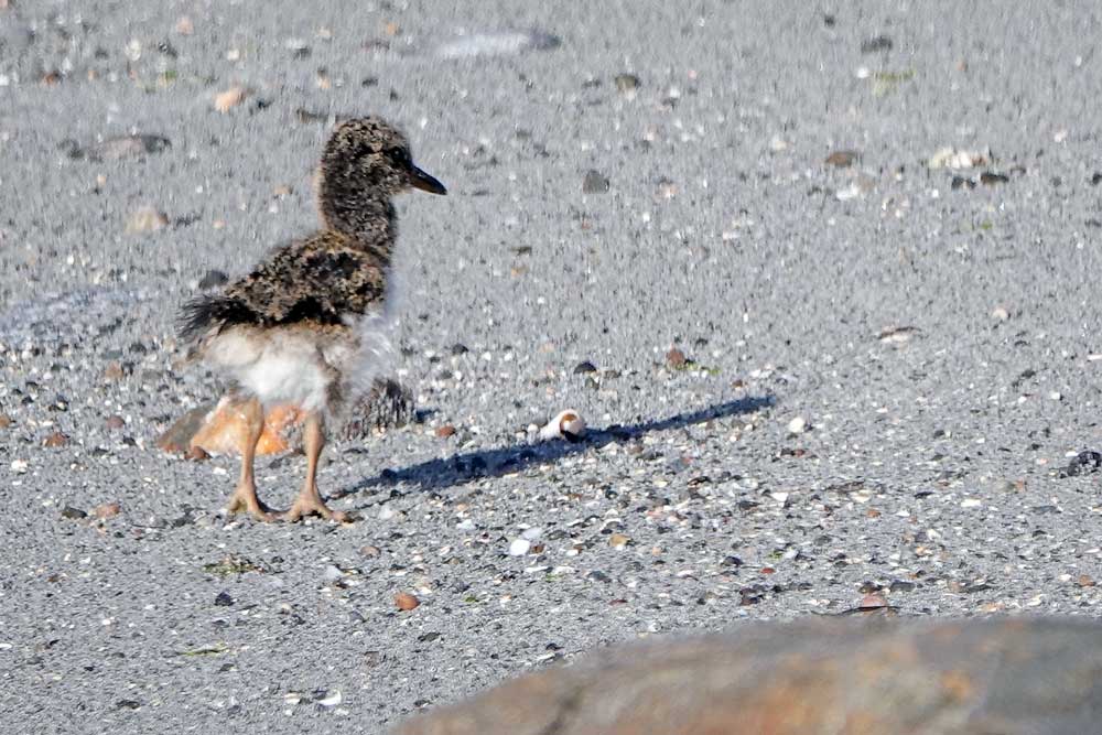
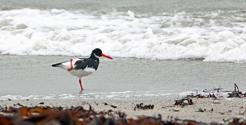
I settled for distant long-range telephoto shots of this Oystercatcher family to avoid unnecessary disturbance.


|
|
Ringed Plover were numerous and very entertaining to watch.
|
|
Uisken
Uisken Beach is easily accessible by car, take the signposted road to Uisken which is just beyond Bunessan. Follow the signs down to the beach – there is a parking area directly by the sands. Uisken is famous for it’s Beach Games day in August, there are assorted races on the sand and a raft race around the bay on home-made rafts. It’s great fun for all the family. The views out to Colonsay and the Paps of Jura are stunning. (to edit)*
|
|
|
Kintra
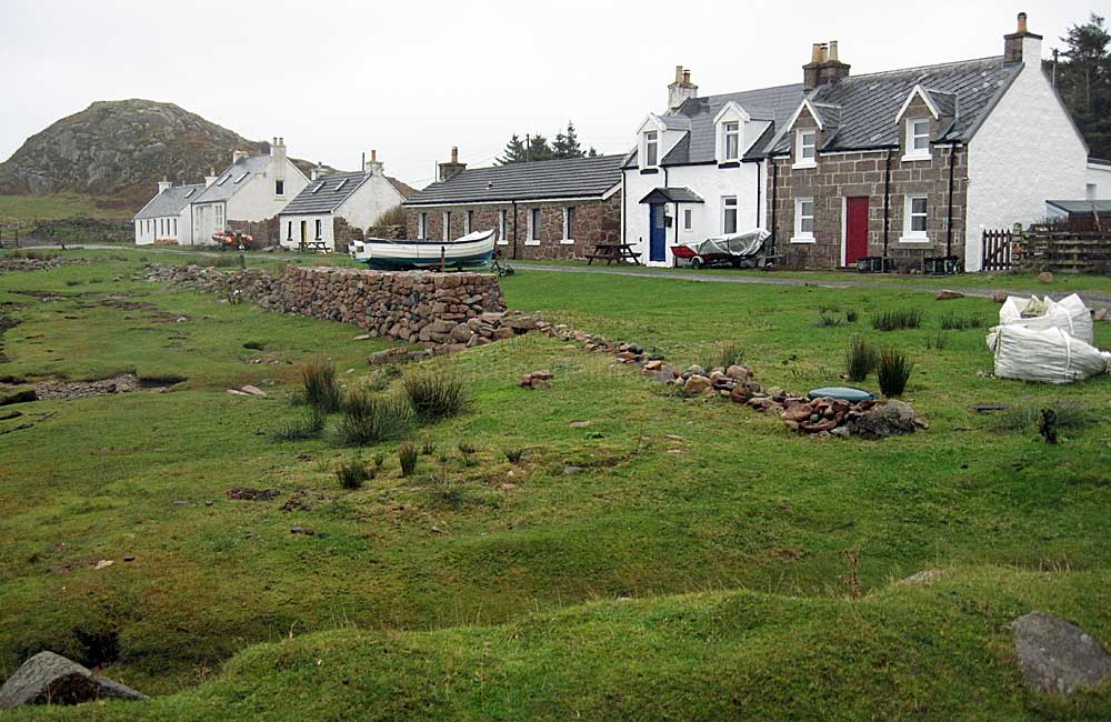
Kintra`s `Main Street`.
|
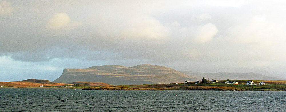
Kintra, on the north side of the Ross, is a small but idyllic settlement with most residents living in the row of cottages along the waterfront. The bay is sheltered by a scattering of small islands and outcrops and this was one of the places on Mull used by Drovers from the Outer Isles who would land their beasts here in the 17th and 18 centuries during their long journey south to the huge cattle markets or ‘trysts’ in Central Scotland.
The route would take them east along the Ross of Mull to the island's south-east corner where they would be ferried across to Kerrera from the quay at Grasspoint (Link) which was also known as Auchnacraig Quay. Once on the smaller island, the cattle would be transported to the mainland by boat but often they were forced to swim across the narrow channel to Oban. The size of the beach at Kintra varies considerably depending on the state of the tide. I made a brief visit on a stormy day when the water had receded and, with the rain sweeping in, didn’t venture far from the car. To see the bay at its best arrive on a wind-free day when the sea reaches the edge of the street and mirrors the cottages. I`ve made several brief visits to Kintra over the years but the weather has always been overcast and / or raining so these shots don`t do it justice. On the most recent occasion sea kayakers were using Kintra as their base for exploring the local coastline. |
|
|
|
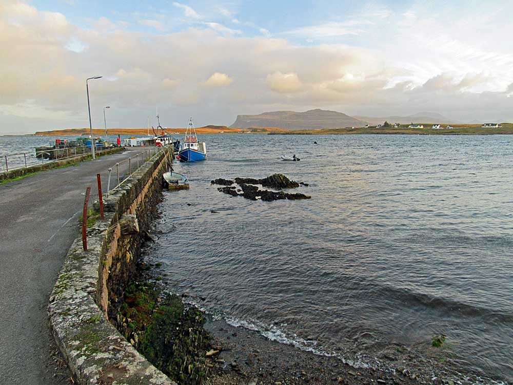
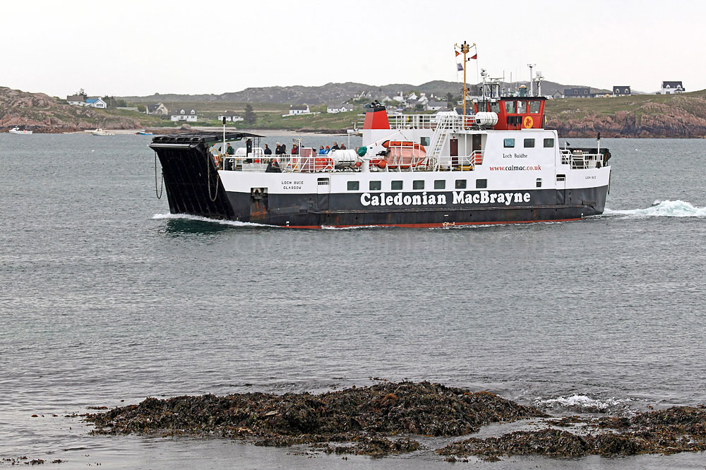
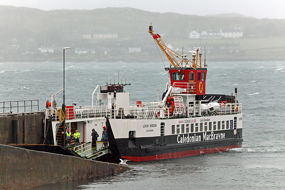
And of course, there`s Fionnphort, the principal port of the Ross of Mull, and the second largest settlement in the area...
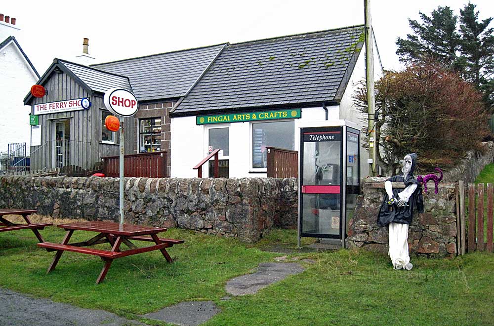
Fionnphort
info*
|
|
info*
|
|
Please bear in mind that all my images are subject to copyright. They are not free to use and have been embedded with a digital watermark.
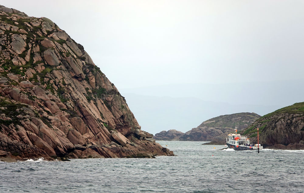
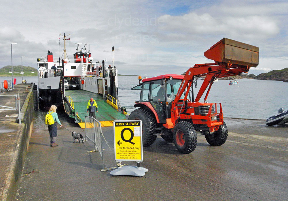
As well as being the only ferry port for Iona, Fionnphort is also a gateway for cruises to Staffa and the Treshnish Isles.
|
|
|
Ulva
|