Islands
Mull
Lochdon & the Grasspoint road
*I am in the process of redesigning this section to include notes and many more high-res shots*
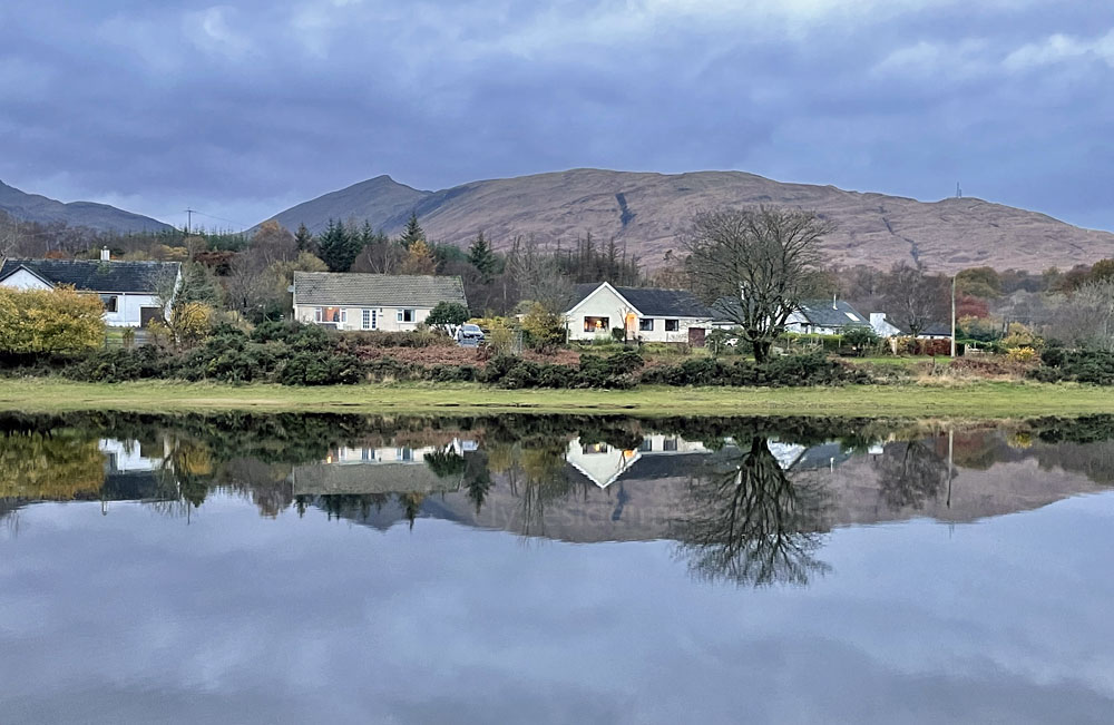
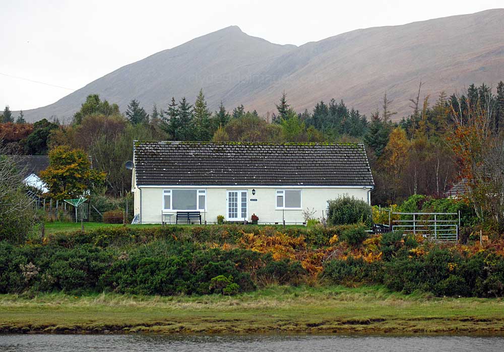
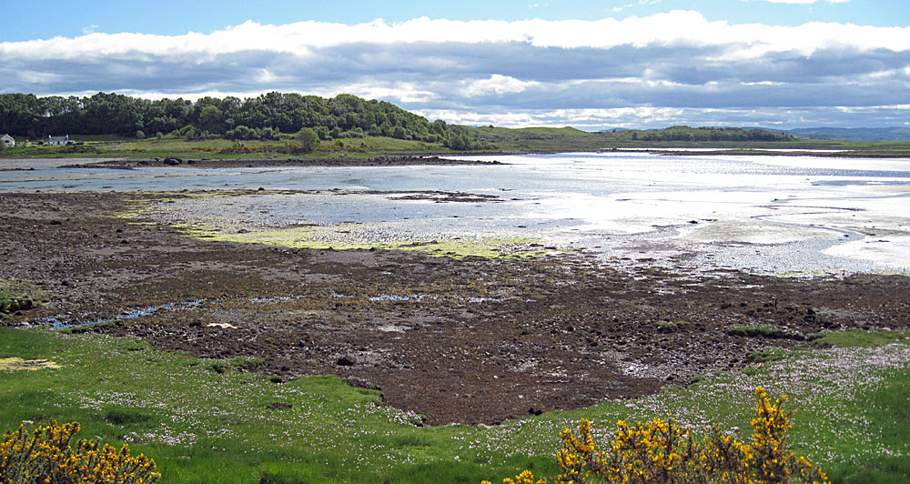
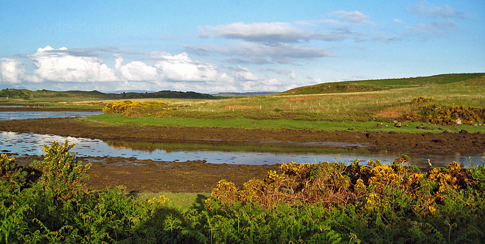
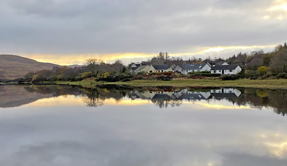
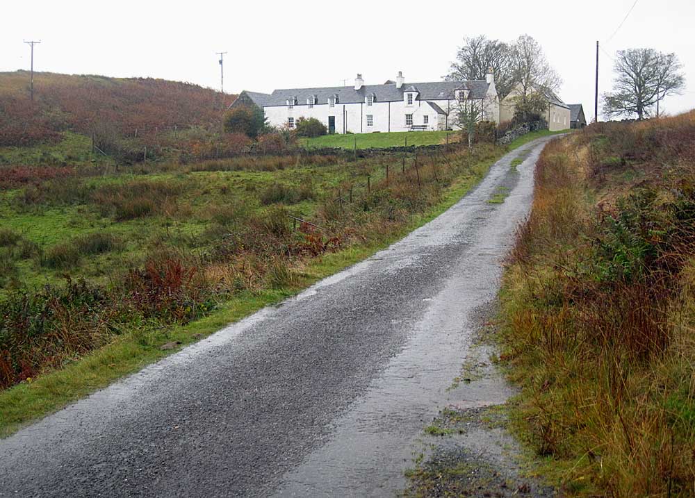
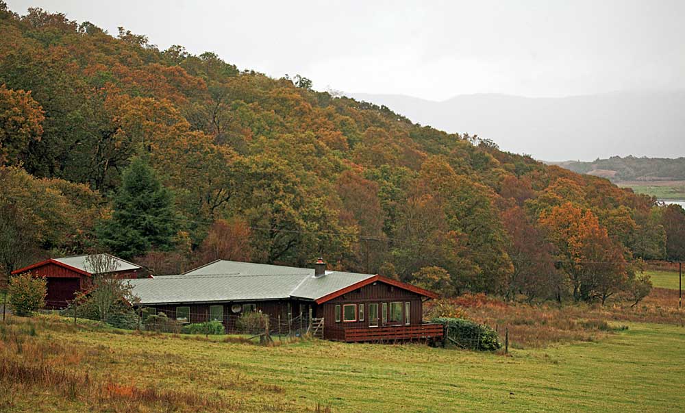
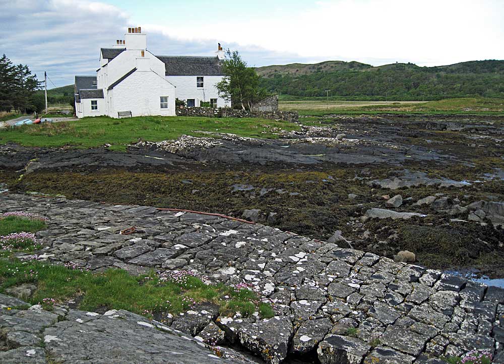
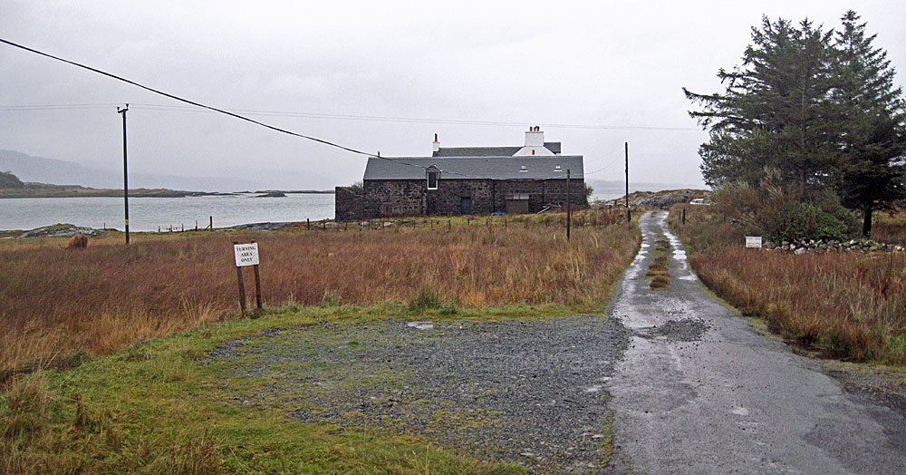
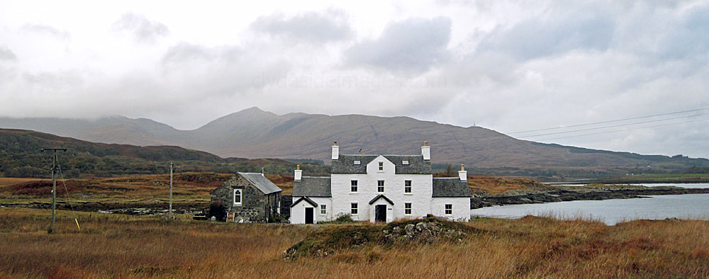
This quiet settlement, previously called Lochdonhead, lines the head of the shallow, ragged sea loch with our holiday cottage occupying a slightly elevated position on the western side of the inner, northernmost bay, overlooking the water and extensive mud flats which are exposed at low tide.
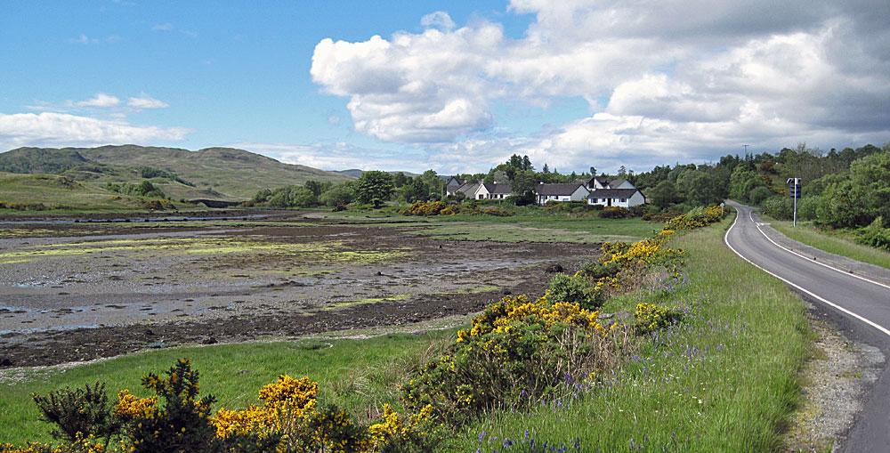
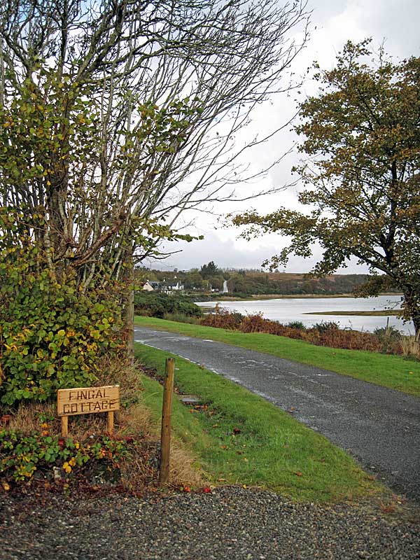
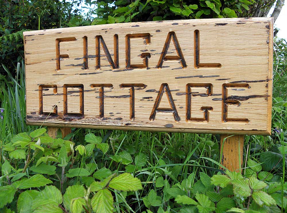
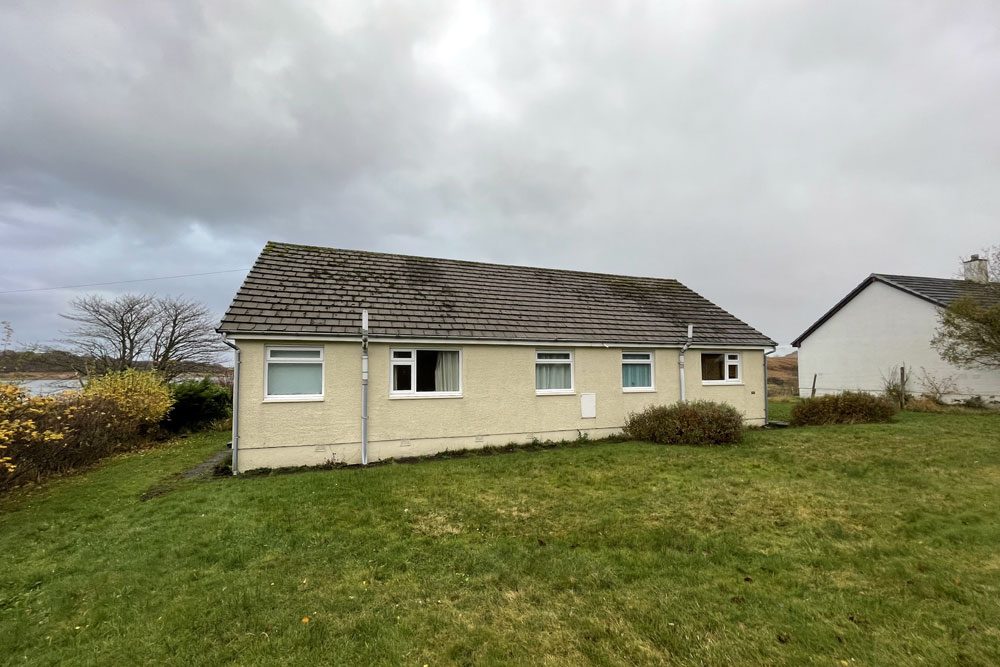
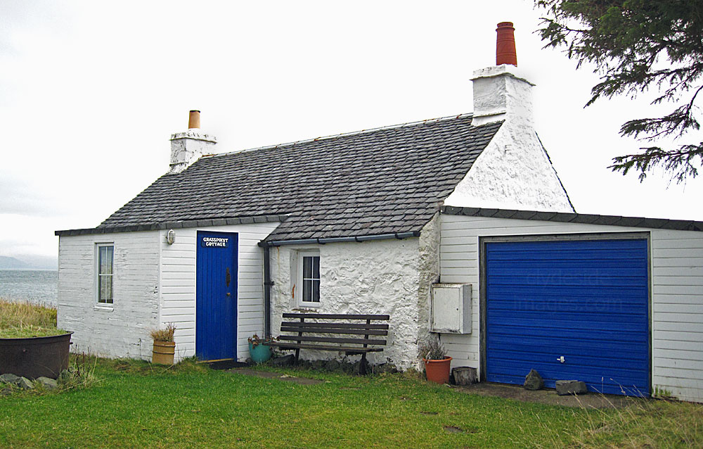
We`ve rented Fingal Cottage several times over the years due to its location. It makes an ideal base as Lochdon village lies just 3 miles south of the island's main ferry terminal at Craignure. More information and additional images of the property can be found on the Fingal Cottage website - Click here to view.
|
|
|
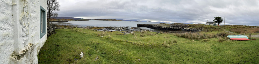
This accommodation is in a great location for wildlife spotting as can be seen in the view from the lounge window shown below. Ben Cruachan, above Loch Awe on the mainland, is the twin-topped peak in the distance.
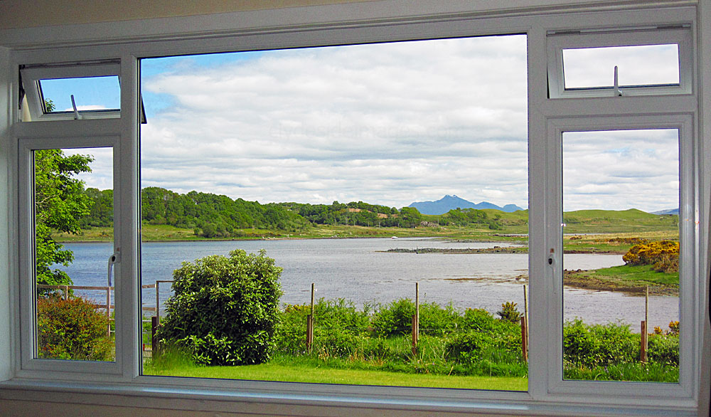
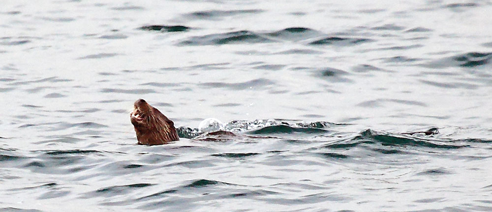
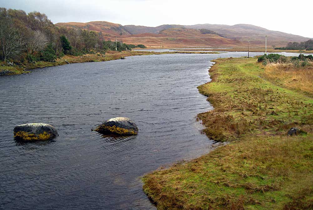
My wife and I have stayed here a few times and on our first visit, which was in the month of May, I opened the curtains around 5.30 am, and saw our first Otter of the trip running along the opposite bank of the Leth Fionn, the narrow tidal arm of the loch which passes right in front of the cottage.
The Otter, a big male, went into the water and swam up towards the old stone bridge which crosses the road to Grass Point but unfortunately it was still too dark for a photo. We spotted another Otter, possibly the same one, swimming in the main loch that afternoon. The back garden is shown below. |
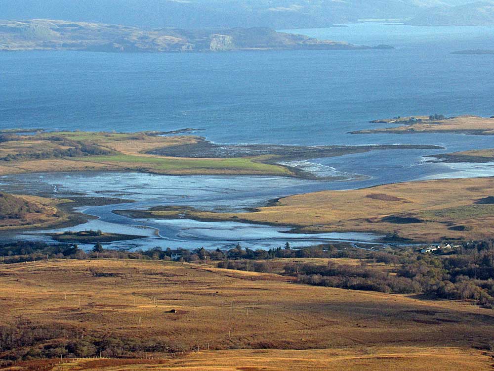
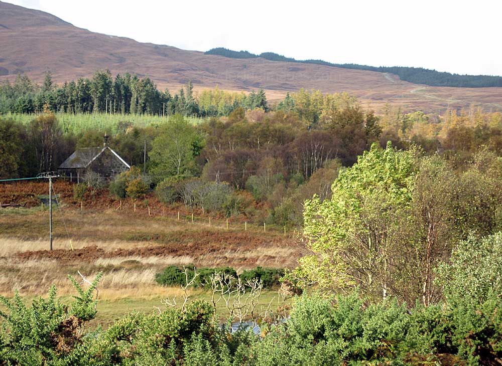
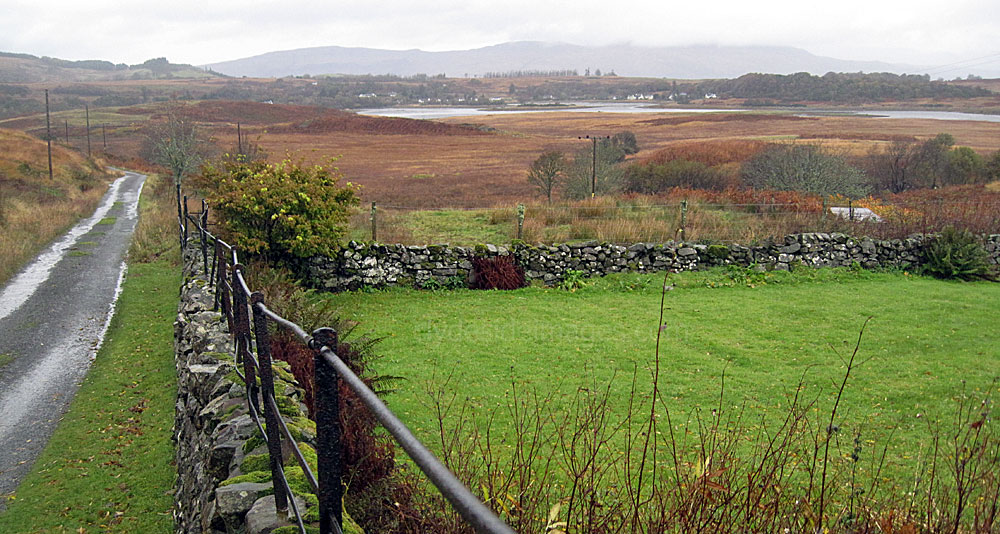
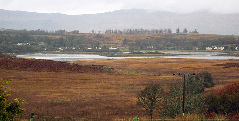
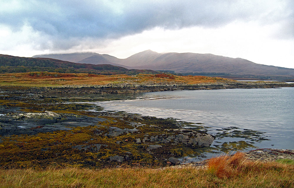
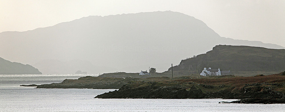
The ragged shape of Loch Don is clearly seen in this telephoto view taken from the lower slopes of Dun da Ghaoithe (766m), the long hill which towers above the Craignure ferry terminal. Fingal Cottage is in the row of white buildings on the right-hand side with Grasspoint, which marks the eastern entrance to the loch, being the farthest of the twin prongs coming in from the far right.
|

|
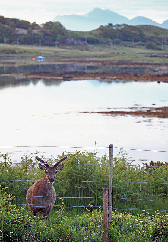
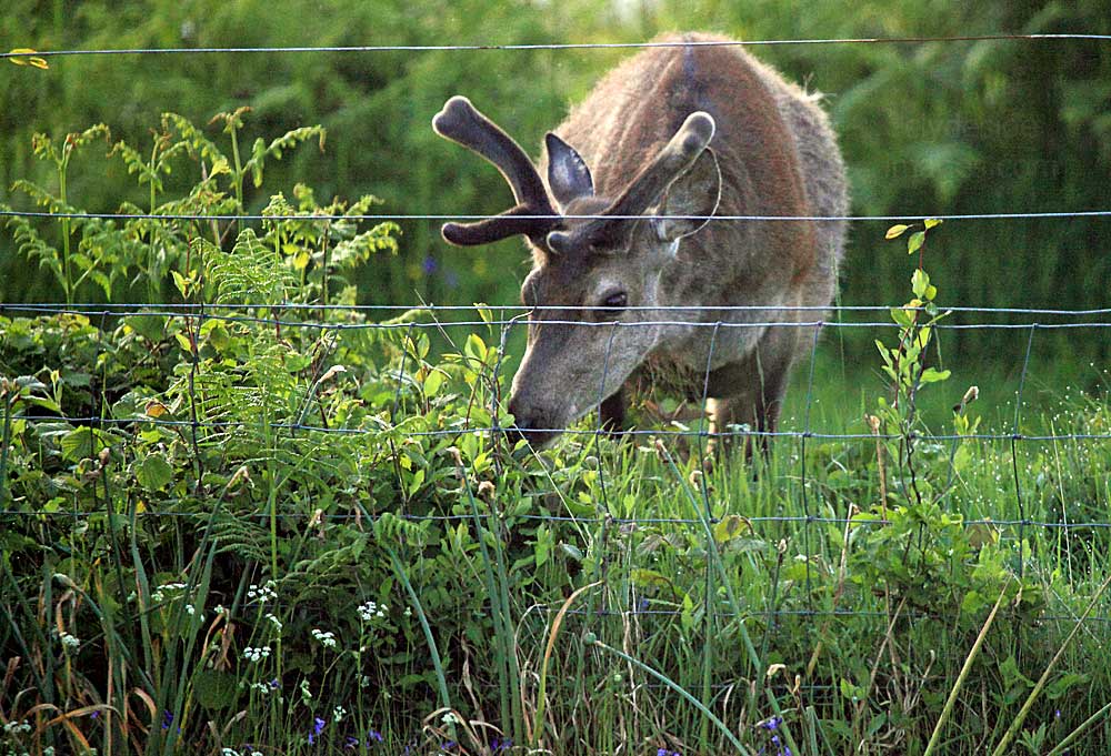
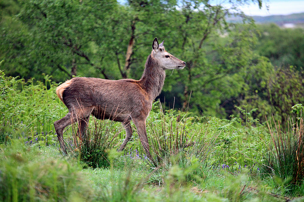
On several occasions, in the twilight, we watched a herd of Red Deer slowly wander down over the high ground to graze on the opposite bank. They often walk round or even swim across the narrow stretch of the loch here.
|
|
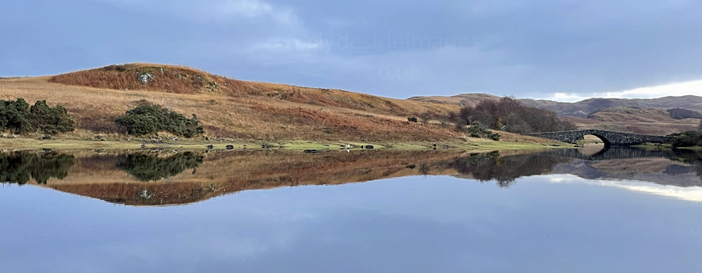
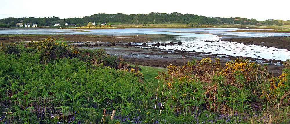
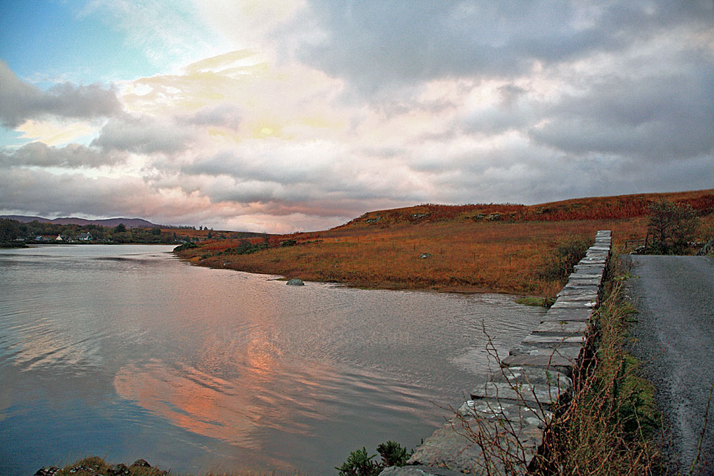
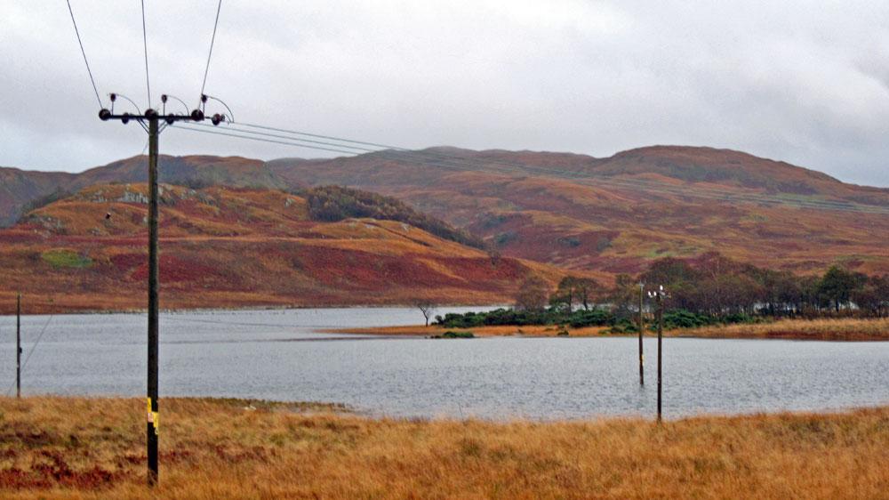
Contrasting views of the Leth Fionn tidal arm at high and low water.
Unfortunately the last time we stayed at Lochdon which was in October 2014, our holiday coincided with one of that years worst spells of weather! Rather than the still, crisp, clear autumn conditions that we`d hoped for, severe gales brought almost continuous torrential rain which effectively ruled out any walks that we'd planned. (to edit)*
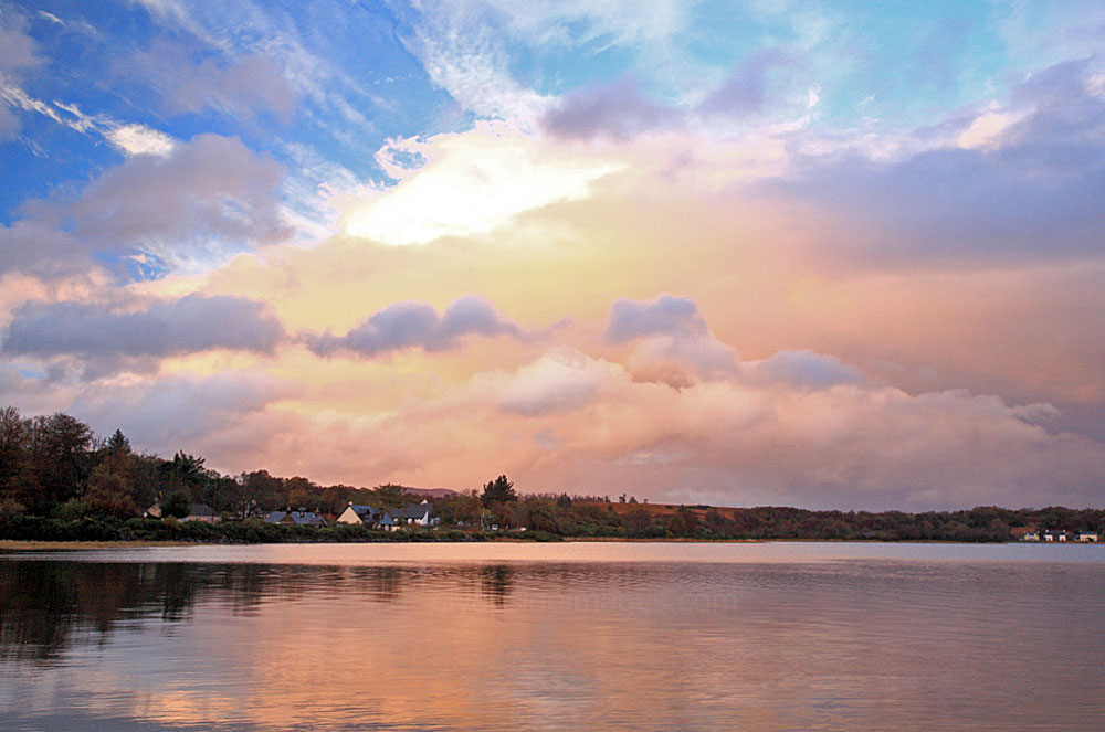
At least we got the chance to see Loch Don in the sunshine on the day we arrived. The wild weather, which was to last all week and beyond, was largely as a result of the remnants of Hurricane Gonzalo blowing east across the Atlantic towards Scotland as it weakened. It caused some disruption here, albeit nowhere as bad as the problems it had caused when it struck Bermuda at full strength a few days before.
At least we got the chance to see Loch Don in the sunshine on the day we arrived. The wild weather, which was to last all week and beyond, was largely as a result of the remnants of Hurricane Gonzalo blowing east across the Atlantic towards Scotland as it weakened. It caused some disruption here, albeit nowhere as bad as the problems it had caused when it struck Bermuda at full strength a few days before.
|
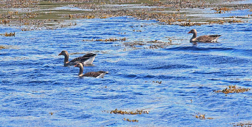
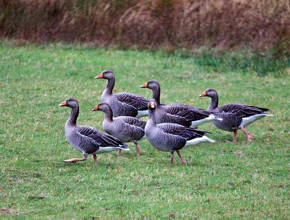
The stormy weather here seemed to have had an impact on the amount of waders and waterfowl as there weren't as many birds as expected. Wigeon (above) were the most numerous, with Heron, Oystercatcher, Goosander, Red-breasted Merganser, Curlew, and other smaller waders, geese and a few Little Grebes also present.
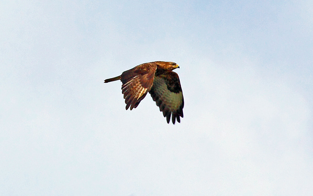
We did get a great view of a male Hen Harrier from the front window one day as it made a slow flypast along the Leth Fionn in its search for food. The female bird also put in an appearance later, albeit a bit further away, on the low-lying hill opposite. A White-tailed (Sea) Eagle was also spotted flying south towards the mouth of Loch Don while being harried by a few `hoodies` (Hooded Crows). (to edit)* |
|
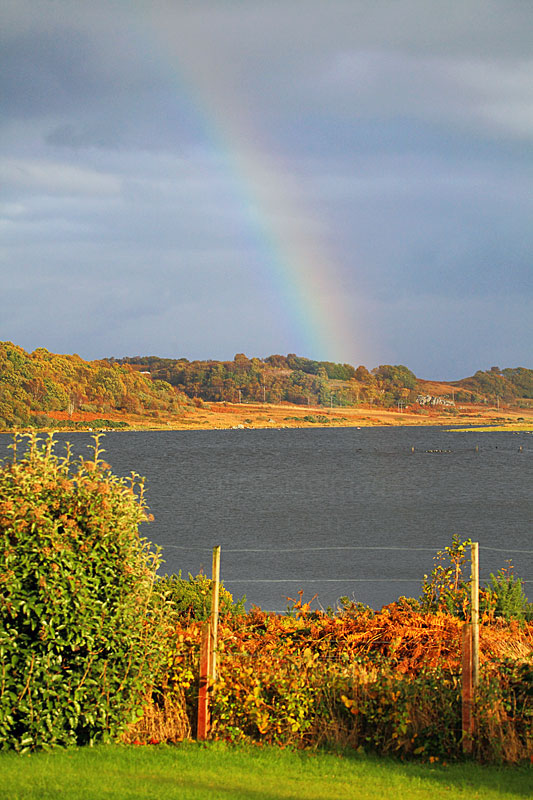
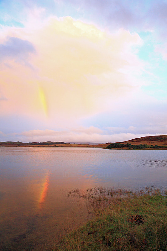
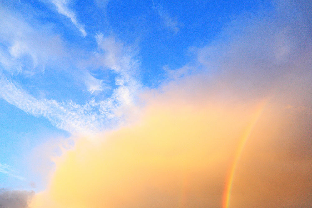
Tuesday 21 October was the windiest day of the week with the tail-end of Hurricane Gonzalo actually hitting the west coast before clearing slowly eastwards across the UK but spectacular scenes materialised the day before, when the clouds unexpectedly parted just before sundown and the loch was bathed in a surreal light with a rainbow thrown in for good measure.
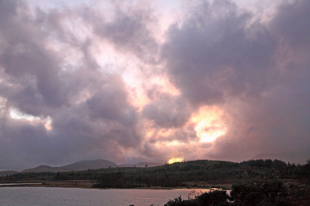
Below: This fireball effect occurred just before darkness fell on 21 Oct 2014.
|
Beyond the bridge over the Leth Fionn (below) is where we got our only view of an Otter at Lochdon this time although we spotted another five (including two together at Salen Bay) at other locations during the week, not bad considering we spent three full days tucked-up indoors due to the weather. They were a bit too far off for decent photos, however.
According to Fingal`s visitors` book there had been several other otter sightings in the vicinity of the stone bridge during the previous month.
|
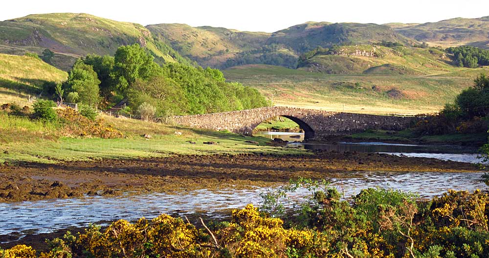
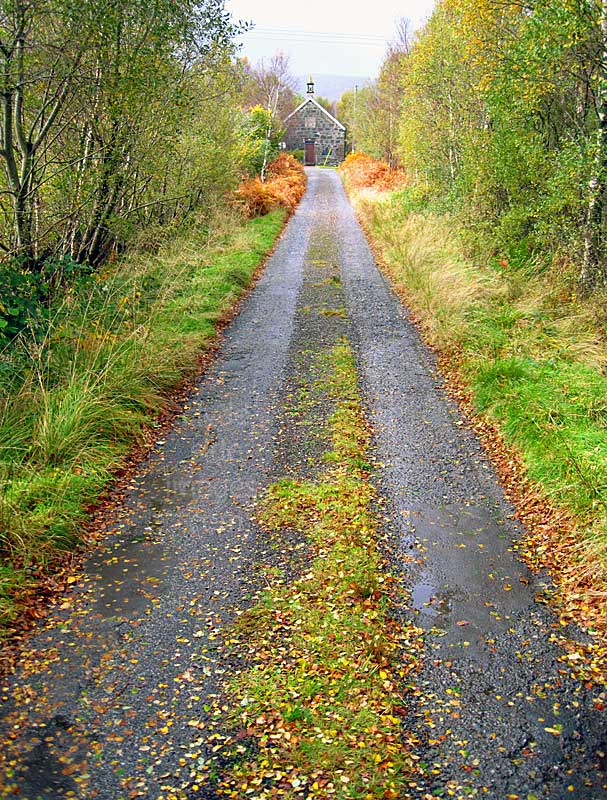
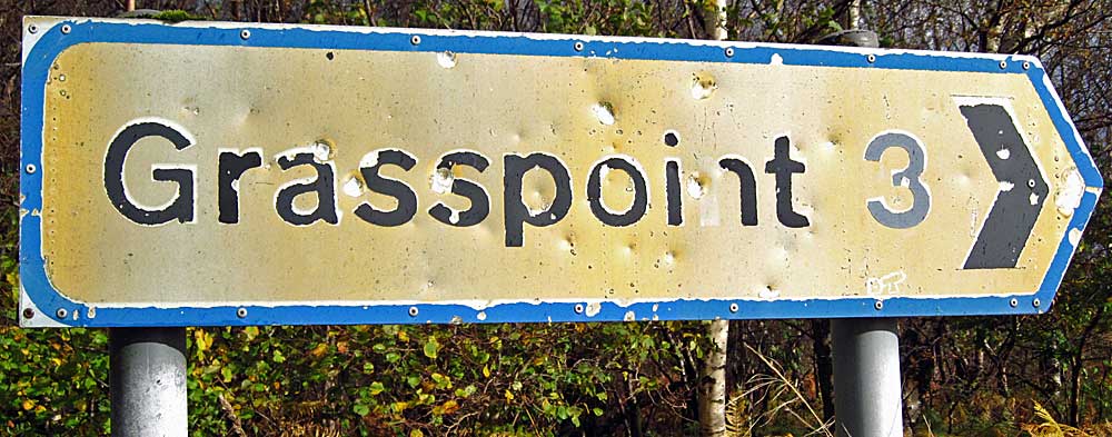
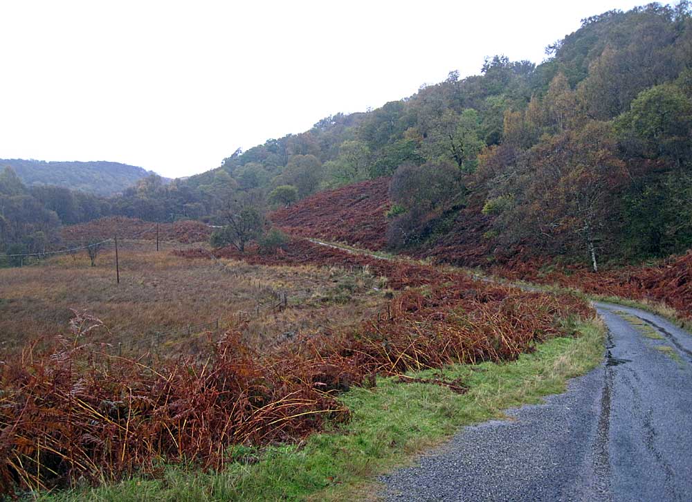
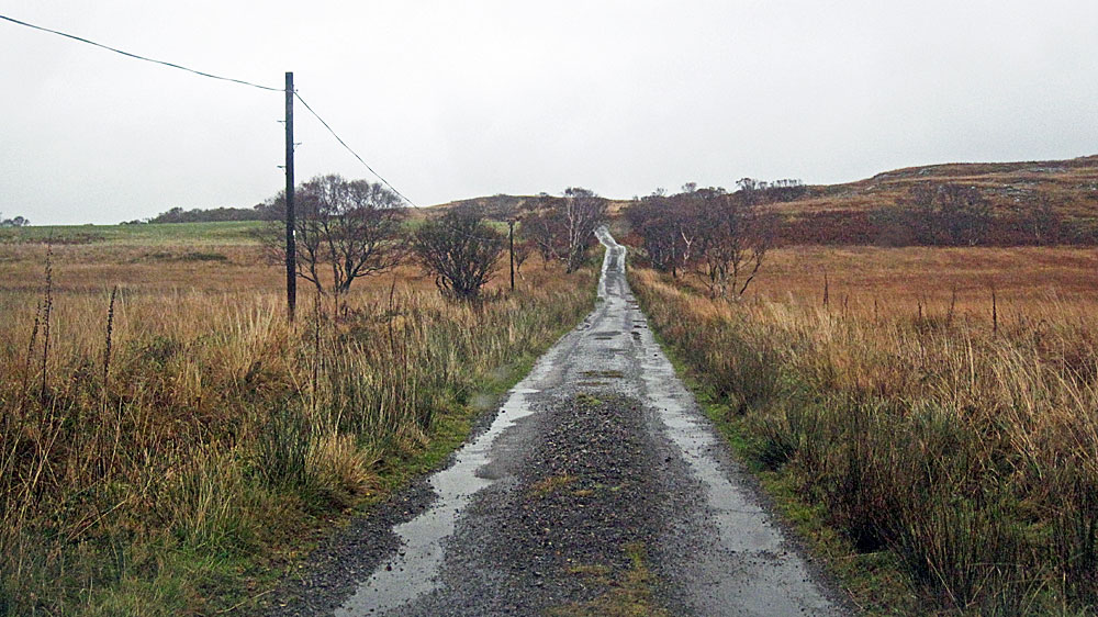
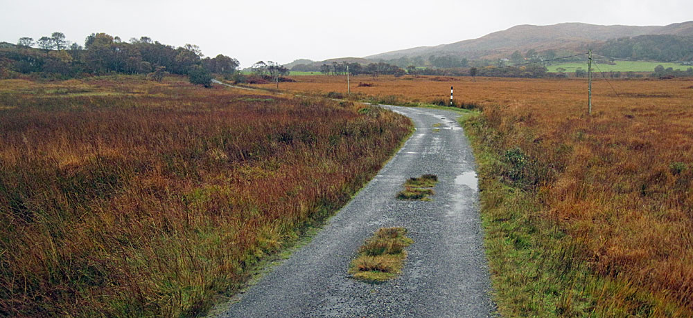
The narrow single-track road from Lochdon to Grasspoint, (also spelt `Grass Point`) formerly known as Auchnacraig, crosses the narrow tidal inlet of Leth Fionn at the south-west corner of Loch Don's inner bay via an old stone bridge and winds through rough, elevated open ground and large areas of natural woodland before opening out onto the coastal plain. This is prime Hen Harrier country and these birds can often be observed hunting.
|
|
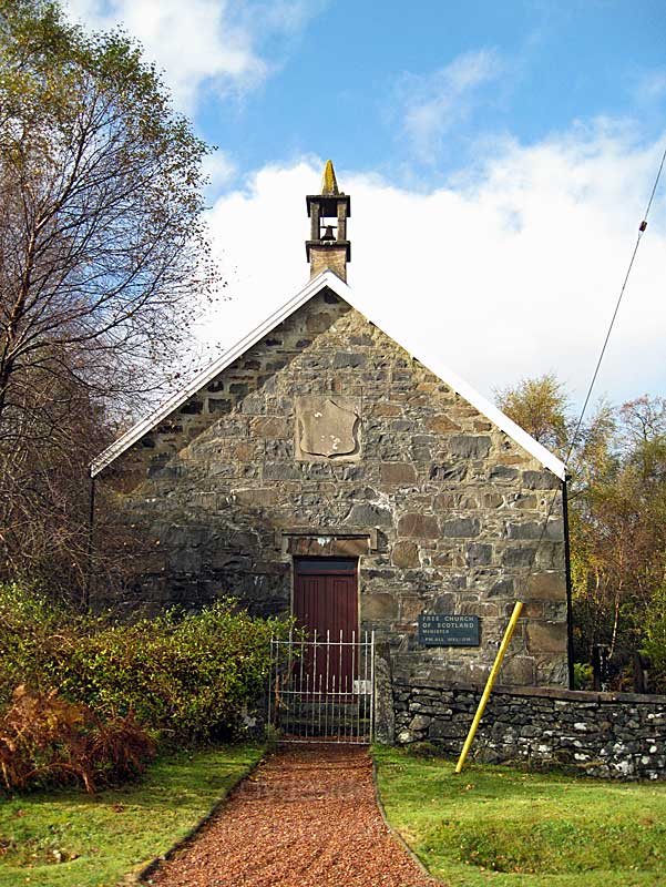
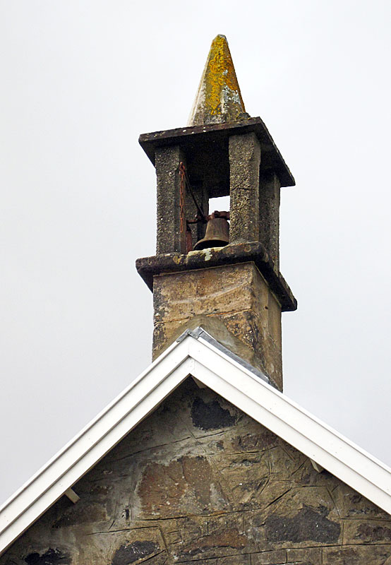
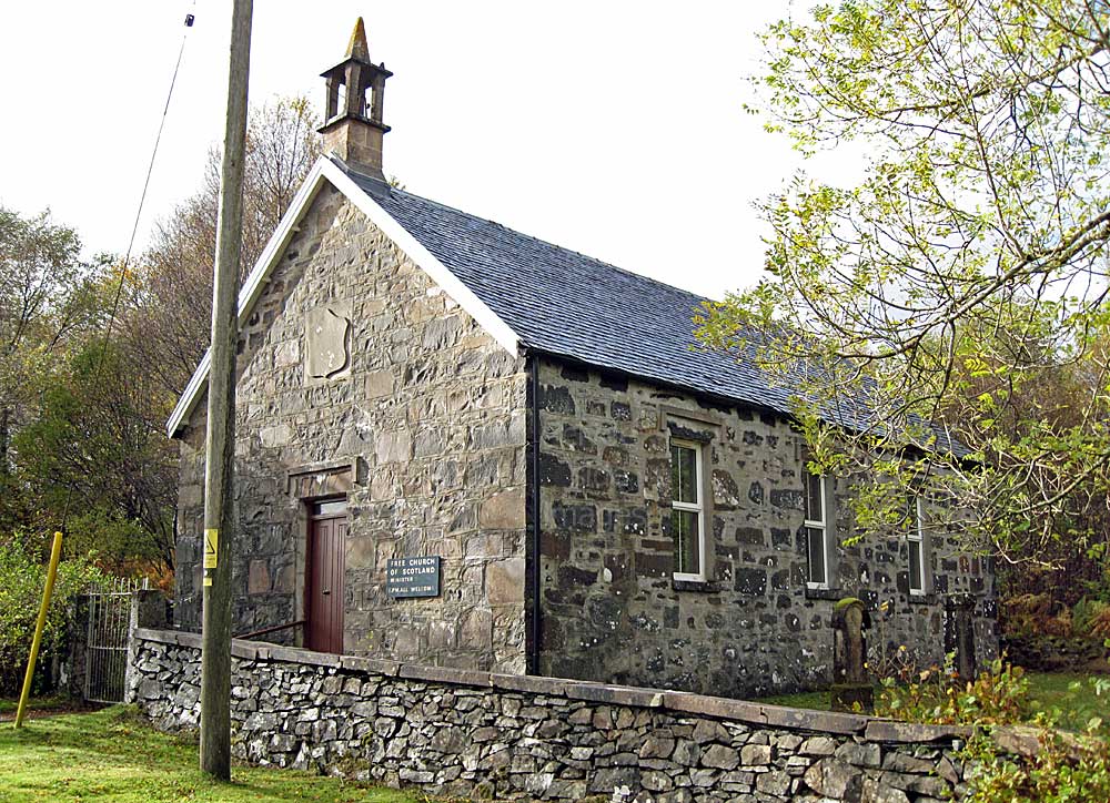
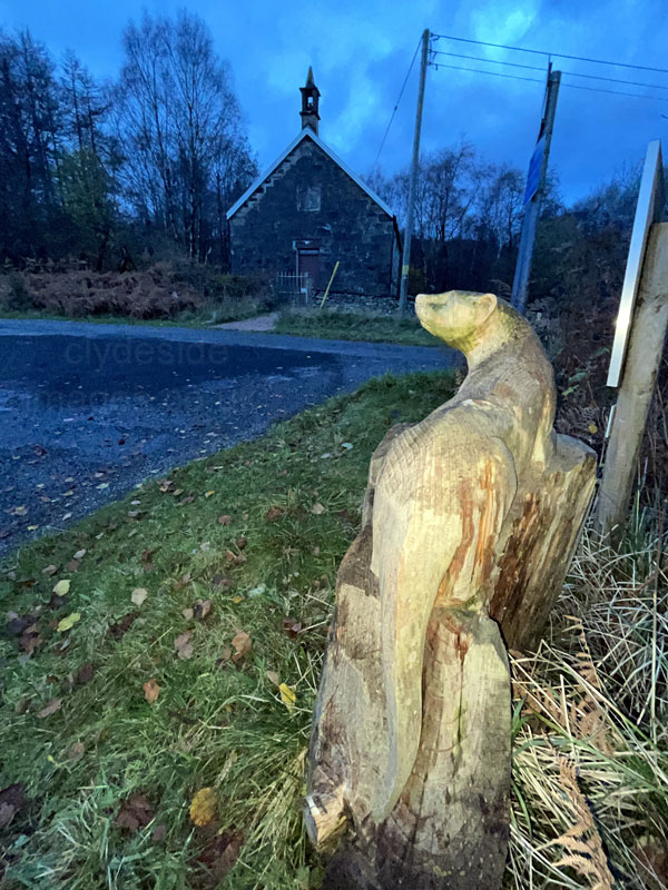
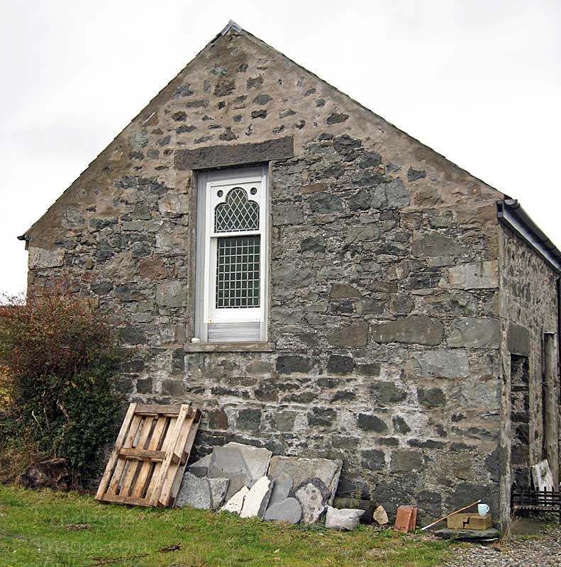
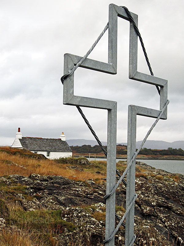
This is the Lochdon Free Church which stands on the edge of the settlement, just north of the stone bridge. In 1843, numerous ministers and parishioners of the Church of Scotland left to form the Free Church during what was known as `The Disruption`. The right of 'patronage', that is the right of a wealthy patron to install a minister of his choice into a parish, rather than one chosen by the congregation, became a point of contention. There was considerable opposition to those who broke away and some of these new congregations were unable to find land on which to build their own church. In many places worship had to be practised in the open air.
At Lochdonhead, as the settlement of Lochdon was then known, the landowner, Colonel Campbell of Possil, banned the breakaway members from meeting anywhere on his estate so they gathered in a tent erected in a gravel pit which lay on the shore between the high and low water mark.
|
|
|
The congregation often braved rain, hail, wind and snow, reputedly with water sometimes lapping around their ankles when tides were exceptionally high! Their perseverance paid off and they were finally granted land on which to build. The Lochdon Free Church opened in 1852 close to where the gravel pit once stood.
|
|
|
|
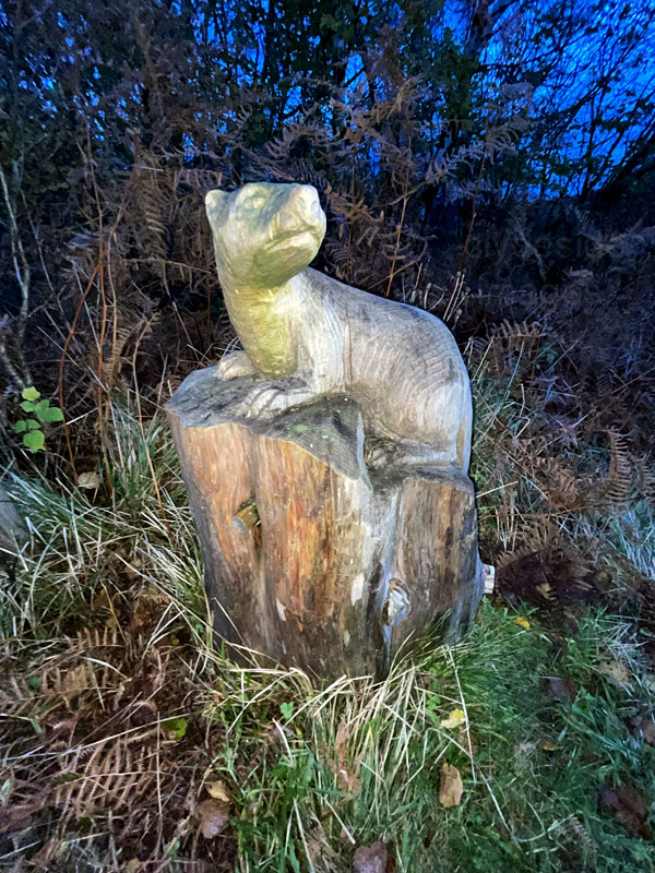
The carved wooden Otter is a fairly recent addition.
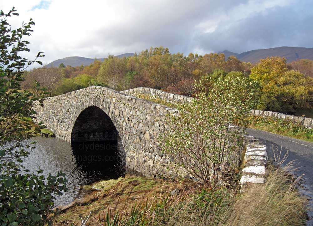
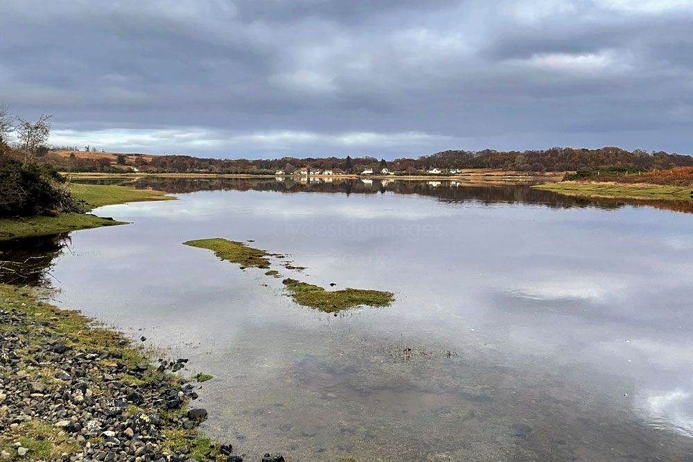
Above: Looking south over the bridge across the Leth Fionn. Lochdon village from the bridge and, below, the extreme western end of the loch begins to fill as high tide time approaches. When I last visited in May this year, the innermost section of Loch Don appeared as just a series of small pools. It was a different story this time though with the heavy rainfall and saturated ground combining with high tides to give it the appearance of a separate sizeable inland loch. (to edit)*
|
|
The above shots were taken from the bridge on different afternoons. I don`t know how far the trail (above left) on the west side of the Leth Fionn goes - one to check-out on my next visit. It looks well-worn but it may just be a fairly short anglers` path. The section of the loch here, on the west side of the bridge, can be a good spot for waders, especially just before or after it floods. A small herd of Red Deer can often be seen grazing on the flats beside the distant tree-line on the right-hand side, and keep a look out for otters.
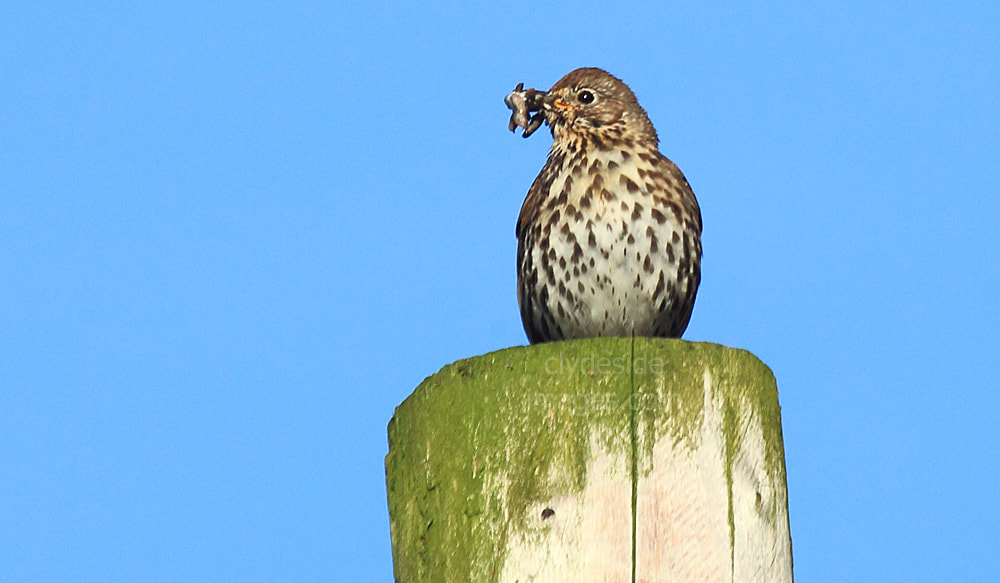
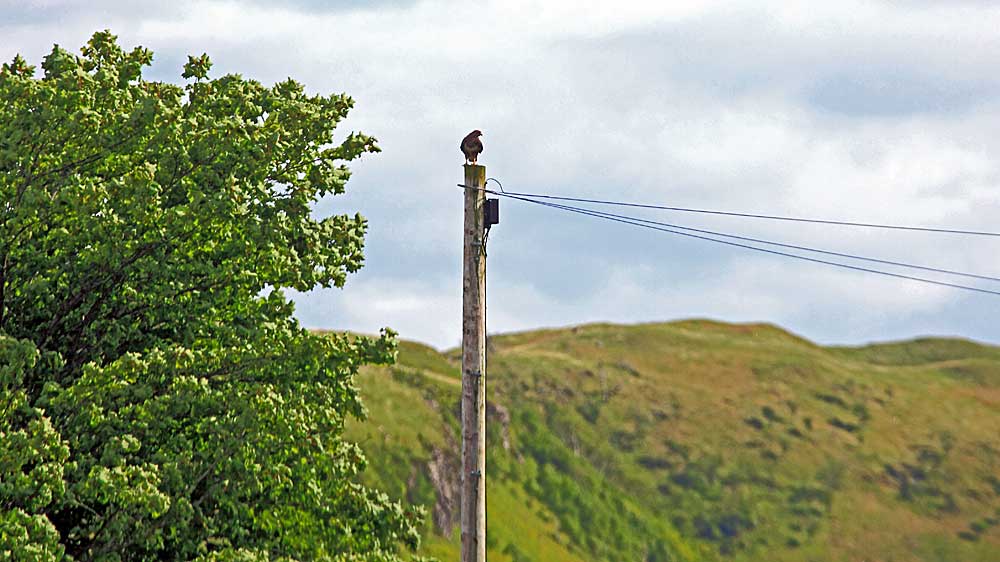
From a photographic point of view, the line of telegraph poles that parallels the Grasspoint road can often make framing shots tricky. The poles, however, provide ideal perches for the buzzards and other raptors which can be snapped from the car at fairly close quarters with a 200-400mm lens before they take flight. Cuckoos can also be found here.
|
|
Ardnadrochit Farm from the north.
Distant views of Lochdon from the front of the farmhouse.
|
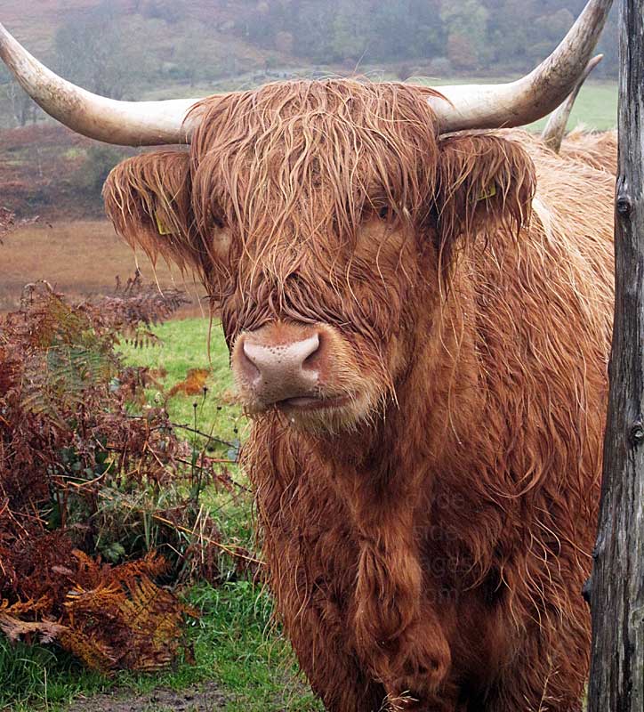
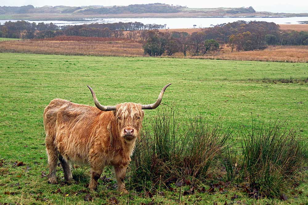
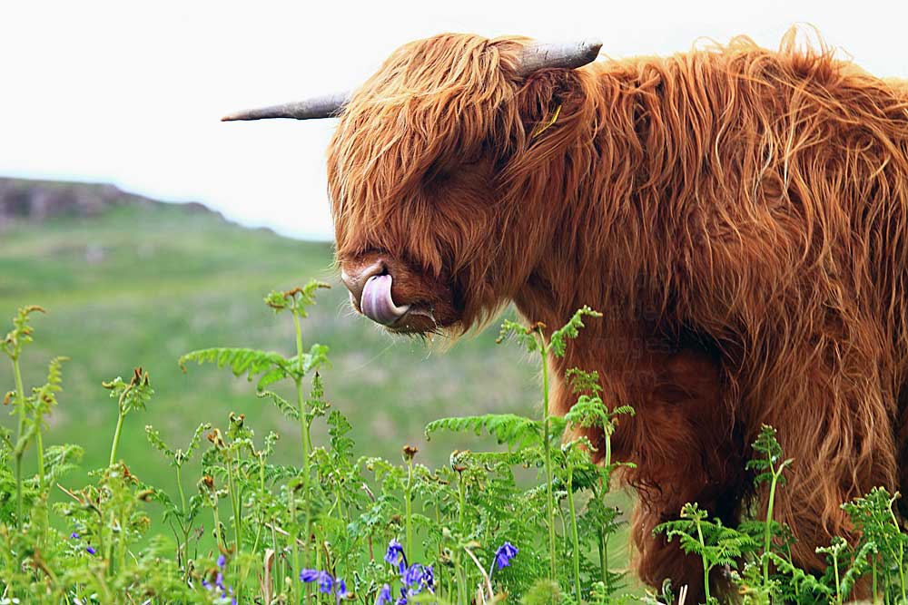
A friendly resident.
|
The north end of Loch Don from the high point of the Grasspoint road at Ardnadrochit.
If you get lost, just ask one of the locals - they`ll be happy to point the way!
|
|
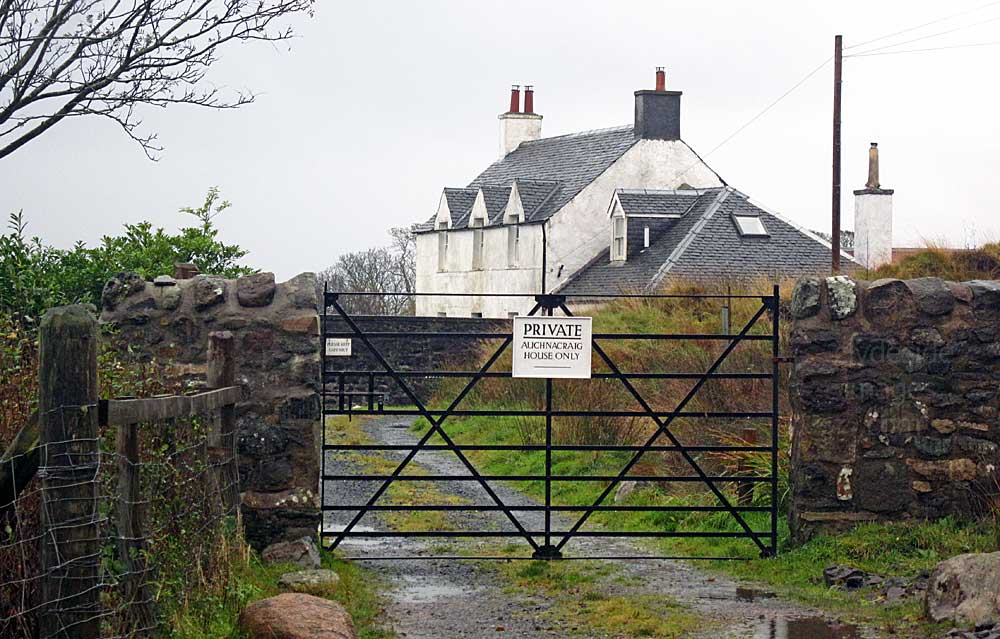
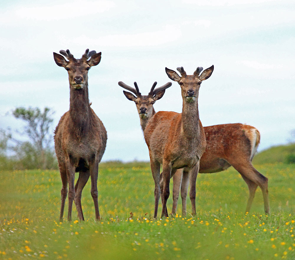
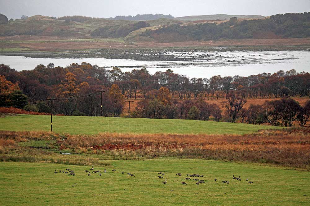
Auchnacraig House lies beyond the woodland. The main house is private but the holiday lodge at the edge of the woods on the opposite side of the road has a terrific outlook and deer can often be found grazing in the fields directly in front. Canada Geese and Greylags also favour this location.
|
|
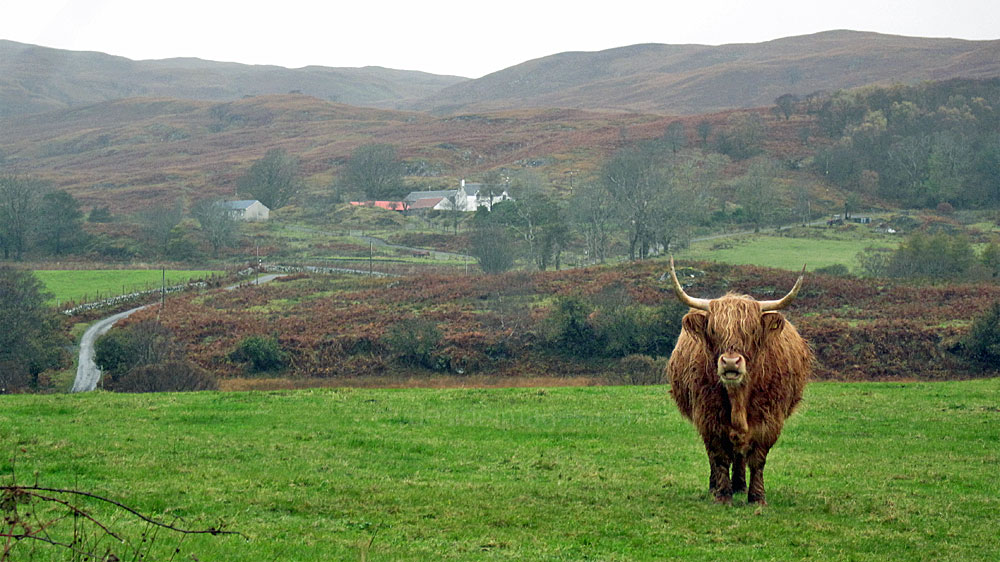
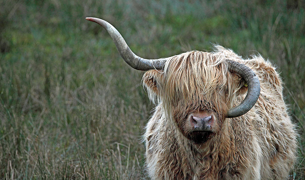
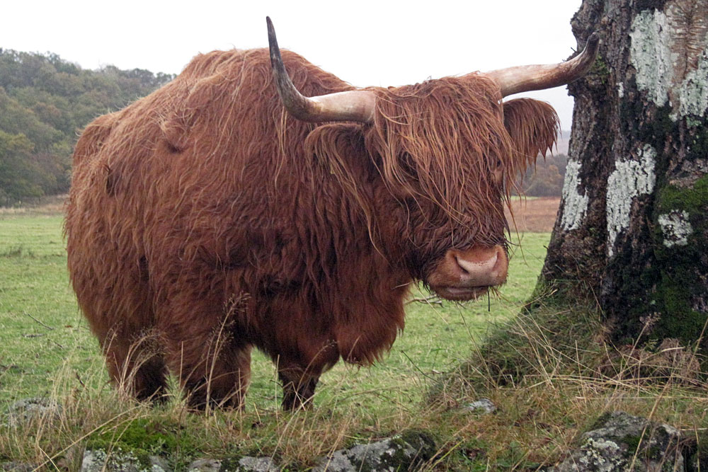
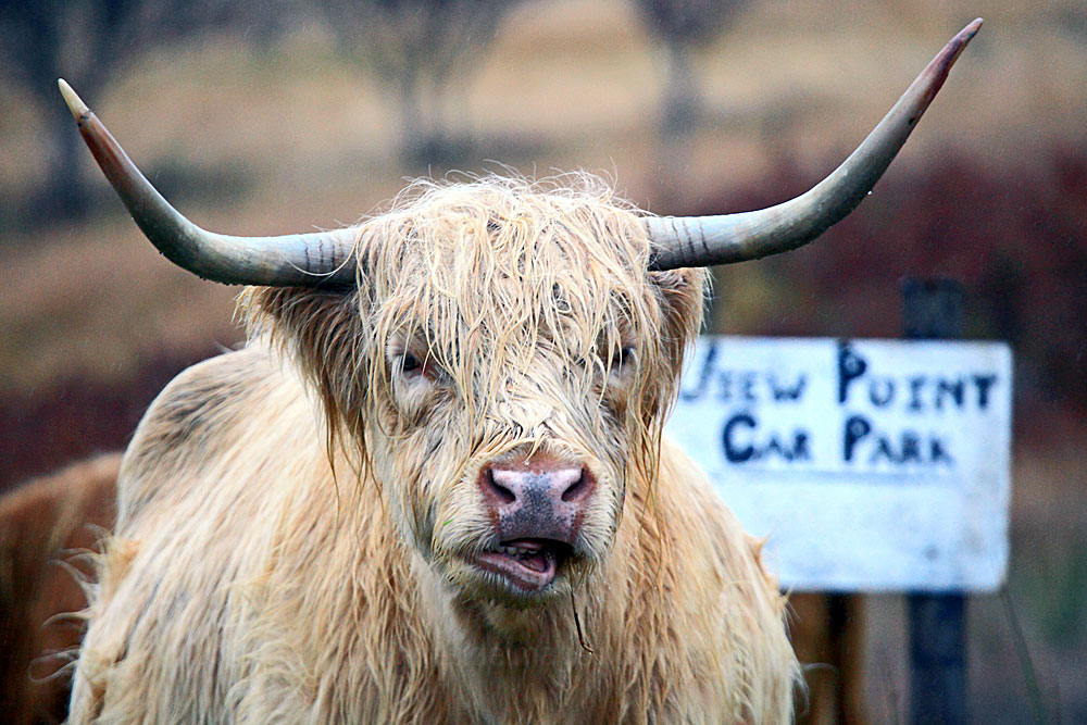
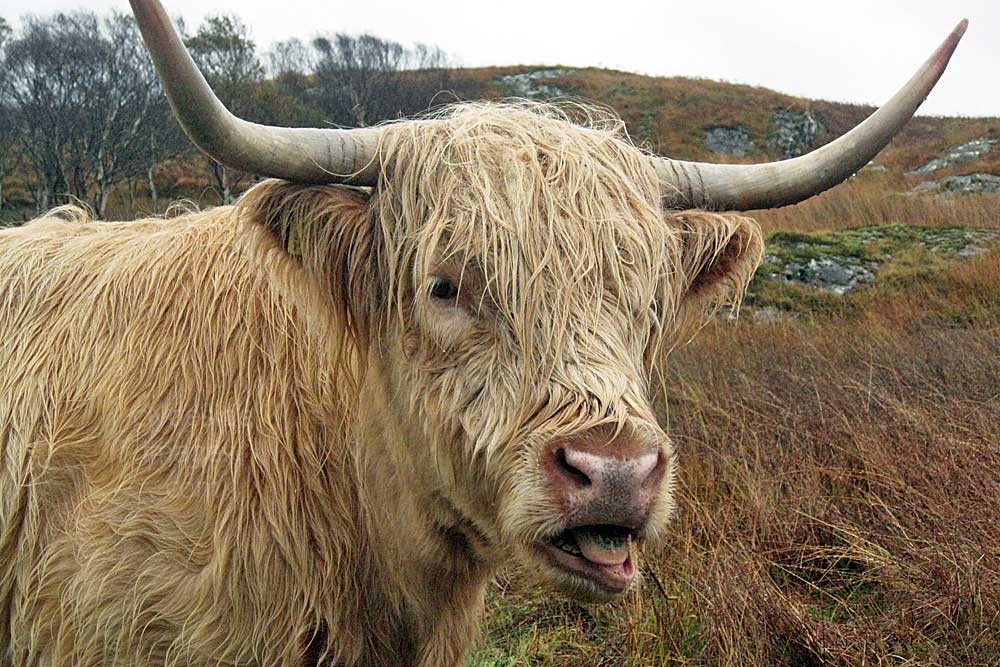
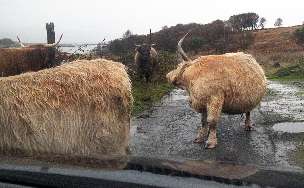
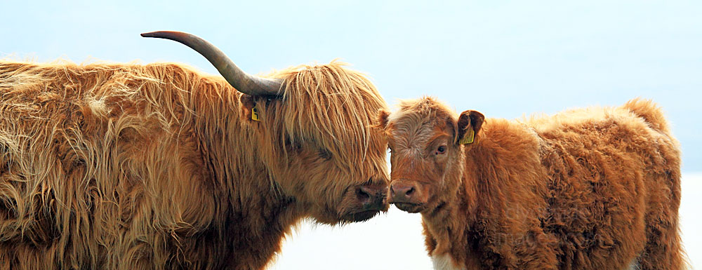
Even if there are no deer around, the Highland Coos are usually quite obliging! The road to Grasspoint is one of the oldest on Mull as, being the closest point to the mainland, it was once an important ferry crossing. Auchnacraig House is the building in the centre of the above view.


|
|
The road to Grasspoint is one of the oldest on Mull as, being the closest point to the mainland, it was once an important ferry crossing. Nowadays, even if there aren`t many cars about, you can encounter the occasional hold-up - not the best place for a good scratch!
|
|
|
For centuries drovers from not only Mull, but Coll, Tiree and further afield, would converge here waiting to transfer hundreds of cattle by small boat to the island of Kerrera, then swim them over to Oban on the mainland to continue their long journey south to the huge cattle markets or trysts in Central Scotland.
The crossing from Grasspoint also became the main passenger ferry route to and from Mull and continued as such until the second half of the nineteenth century. The ferry between Auchnacraig and Barnabuck on Kerrera continued until 1867, by which time traffic had dwindled due to the competition from the increasingly regular steamboat service to and from Oban. |
|
From the small car park near the road end you can walk the short distance to the rocky coast and take in the views across the mouth of Loch Don and the distant mainland.
|
|
This is the turning area. The shot on the right looks back along the route from the same spot with the designated parking area beside the trees on the left.
|
|
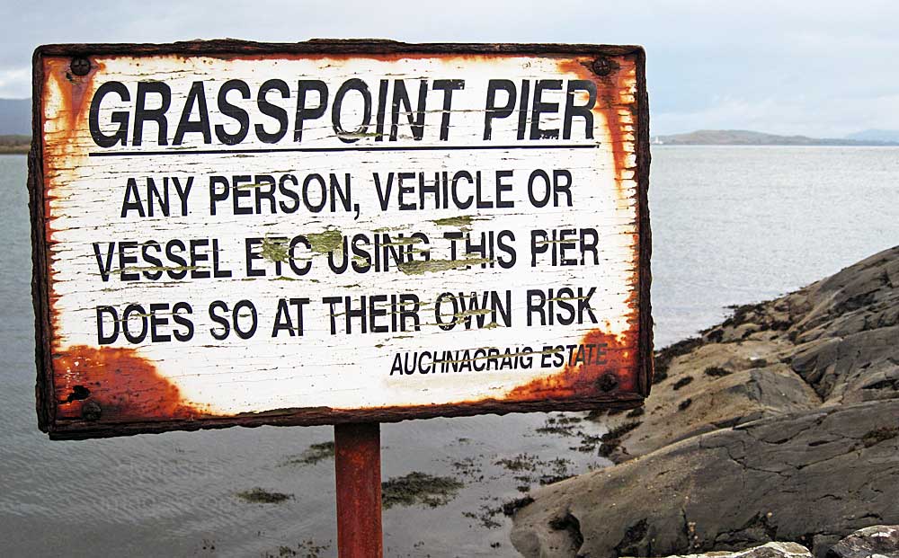
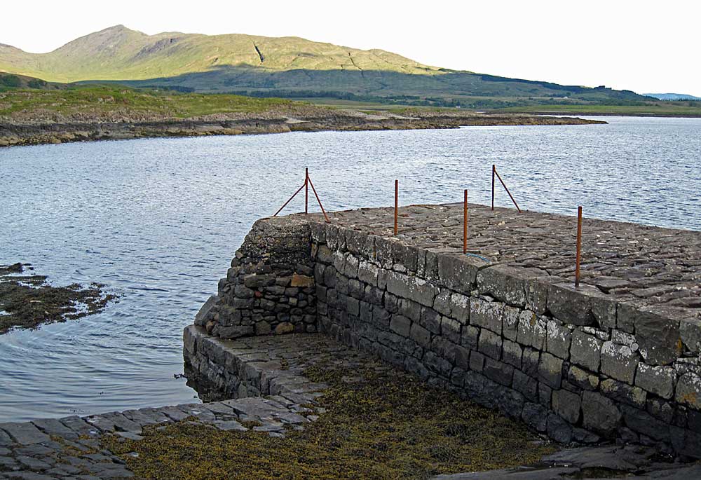
Mull's mail used to be delivered here and, until fairly recently, this lodge served as an inn but nowadays the jetty at Grass Point is a quiet place and often seemingly deserted. The small quay here was used to embark cattle well into the 20th century. The view below was taken from the Mull - Oban ferry.
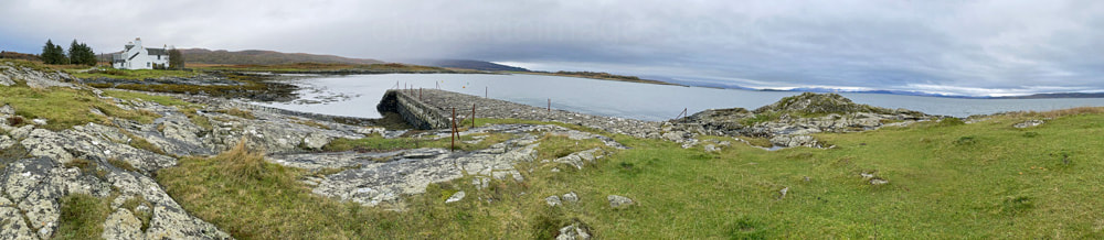
You`re guaranteed to spot at least one seal and its pup here - they`re made of stone and lie on the flat rocks close to the pier.
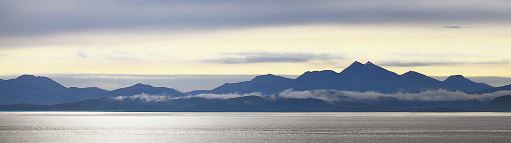
Ben Cruachan and the mainland hills from Grass Point.
|
Grasspoint Cottage.
This was also the spot where pilgrims landed on their way to Iona. Tracks from various points on Mull's south-east corner once converged to form the Pilgrim's Way, the route to Iona which led through Glen More (below) and the Ross of Mull. In ancient times, bodies of Kings were also landed here to make the last overland stage of their journey to their final resting place on Scotland's sacred isle, Iona. Captions - (to edit)*
|
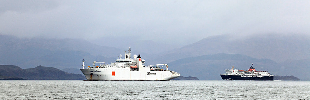
Cable-layer Rene Descartes and a northbound CalMac ferry, photographed from the pier at Grasspoint. October 2014.
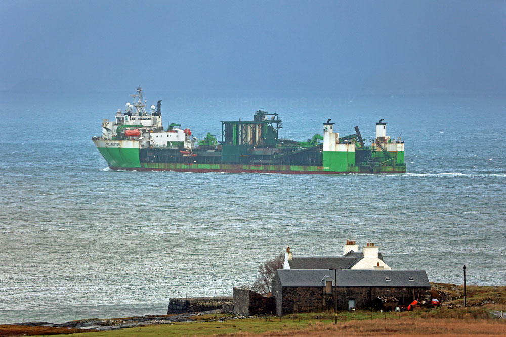
The weather wasn`t much better on ?? November 2021 when I took this shot of the aptly named Netherlands-flagged Stone Carrier Rollingstone passing the same spot. vessel info?*
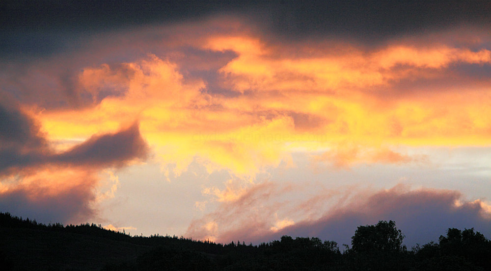
A Lochdon sunset.
|
Ulva
|
Hills & Mountains
|
Please bear in mind that all my images are subject to copyright. They are not free to use and have been embedded with a digital watermark.