Islands
Mull: Dervaig & Croig
Dervaig
*I am in the process of redesigning this section to include notes and many more high-res shots*
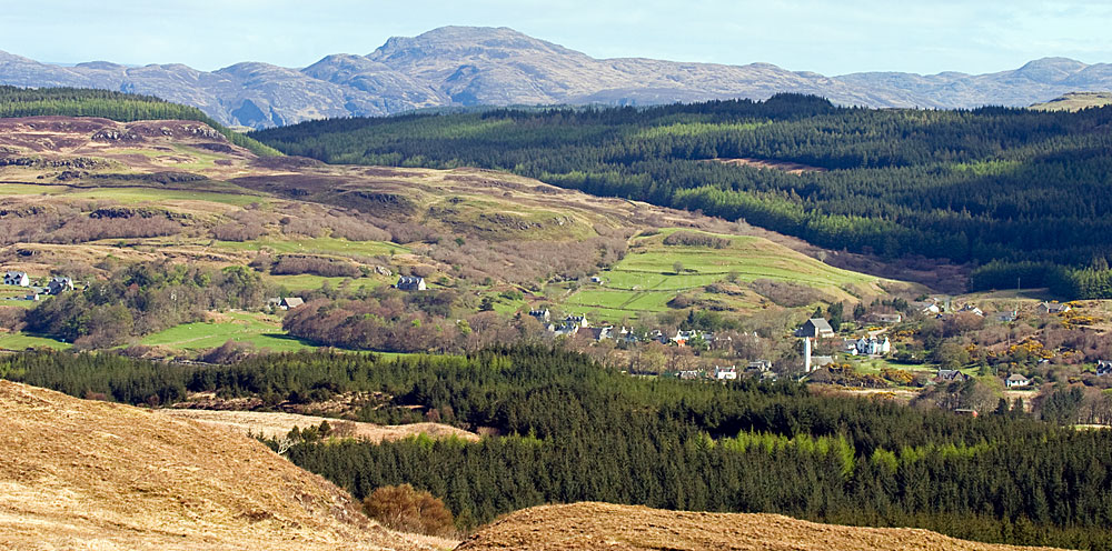
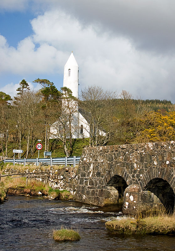
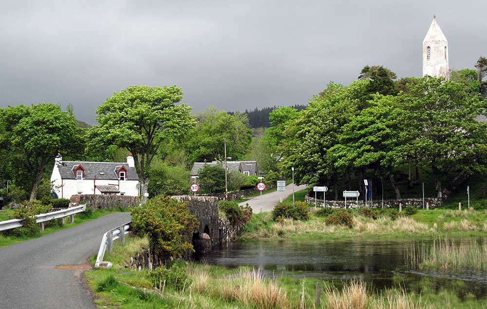
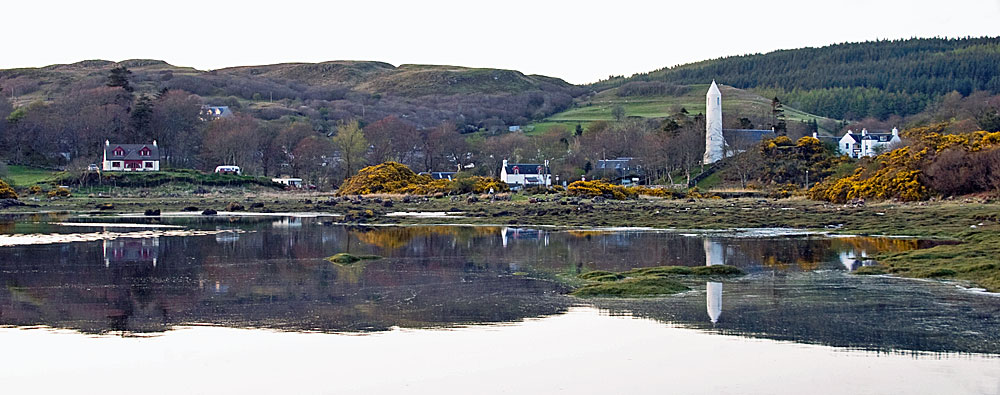
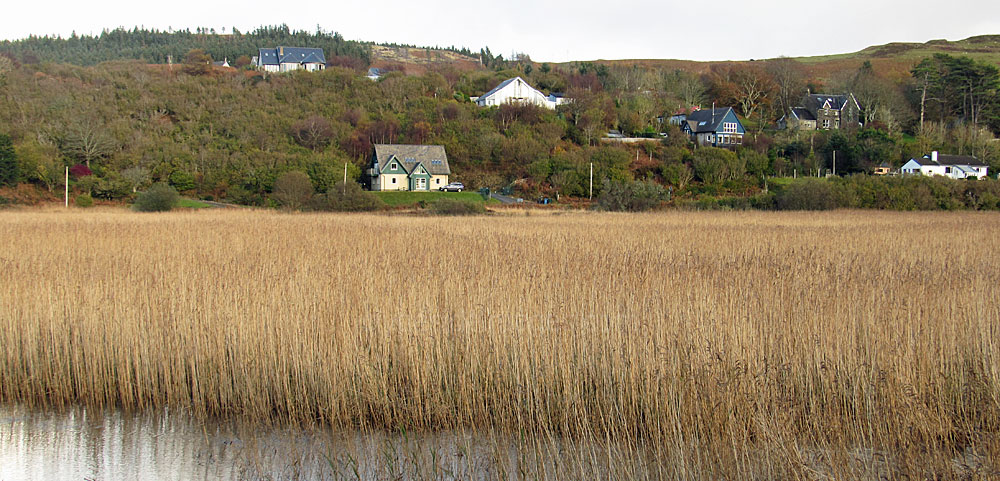
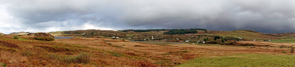
The village of Dervaig, (pronounced 'dervig') lies at the north end of Mull, at the head of a sheltered sea loch, approximately 10km (6 miles) west of the island`s capital, Tobermory. Records show that a church was first established here in the 13th century, but as `dervig` in old Norse means `good inlet`, it is likely that the Vikings settled here, centuries before.
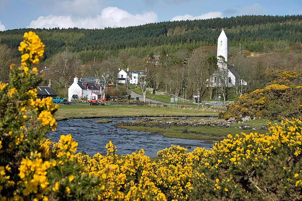
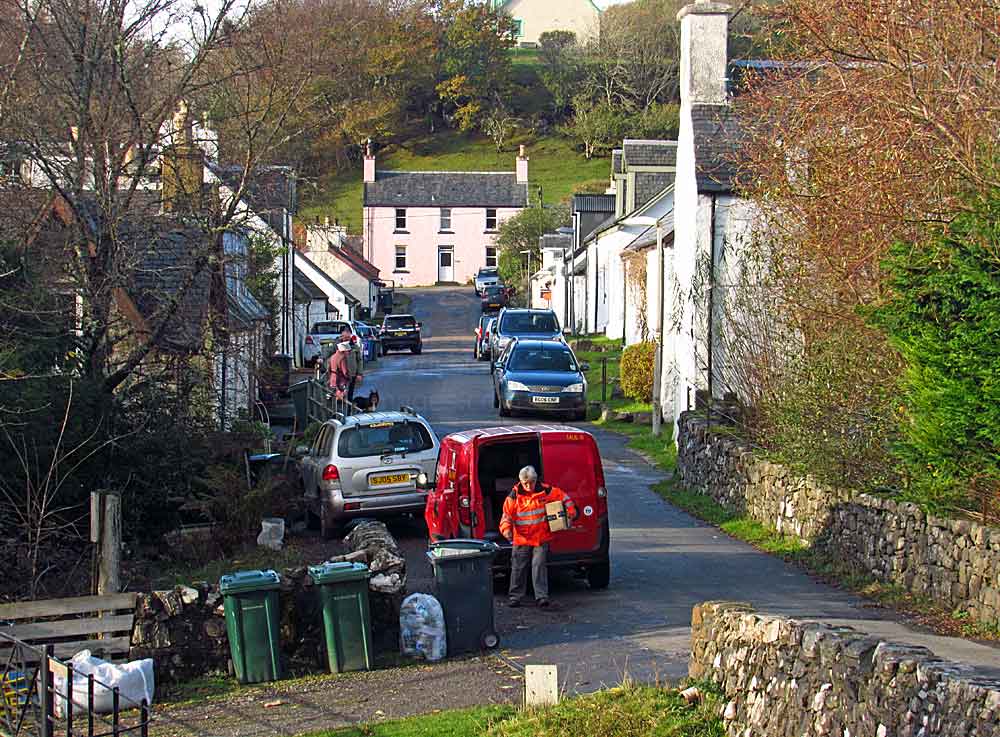
The core of the village that exists today dates back to 1799 and was the brainchild of Alexander MacLean, the then Laird of Coll. The 26 houses and cottages that lined the main street each had their own garden with the addition of common grazing land provided for the residents` livestock. The Bellachroy Inn originated in the early 17th century. The River Bellart flows past the village, into Loch a` Chumhainn.
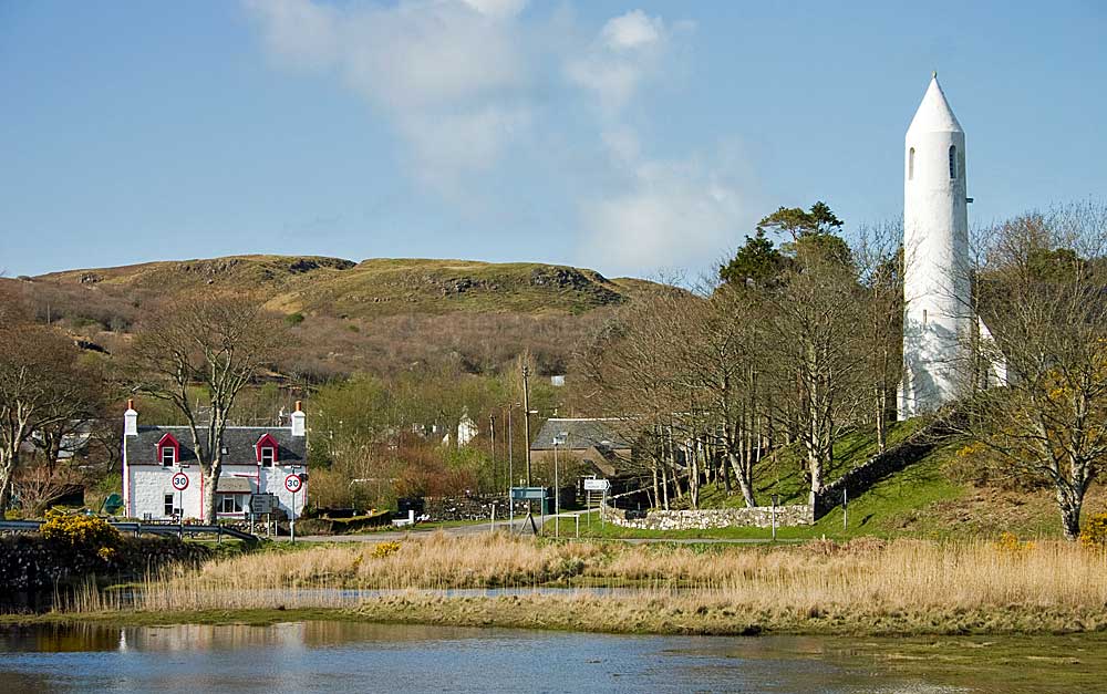
Although picturesque, the village`s most striking feature is without doubt the parish church of Kilmore which has a pencil tower, similar to many churches found in Ireland. It was designed by Peter MacGregor Chalmers who is also responsible for the similarly shaped St Columba`s Church on Canna. The current church at Dervaig was completed in 1905 and replaced the village`s original church of Kilmore which was built in 1755 and had replaced the Old Parish Church of Kilcolmkill which stood nearby.
|
|
Base for my first holiday on Mull over 20 years ago was Half Moon House, on the left above, a very well appointed, spacious 4 star self-catering property just a couple of hundred metres from Dervaig`s main street. More information on this accommodation can be found at: www.halfmoonhousemull.com.
|
|
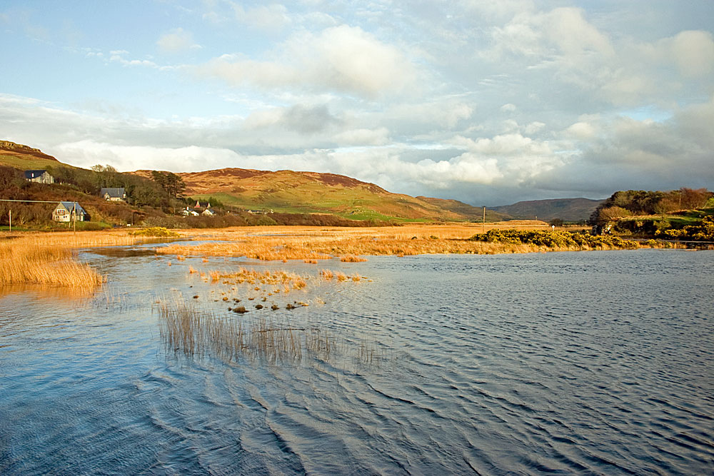
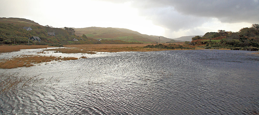
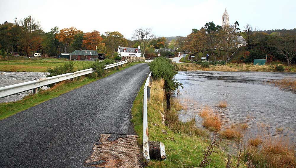
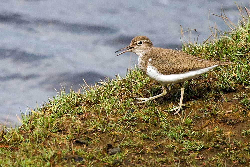
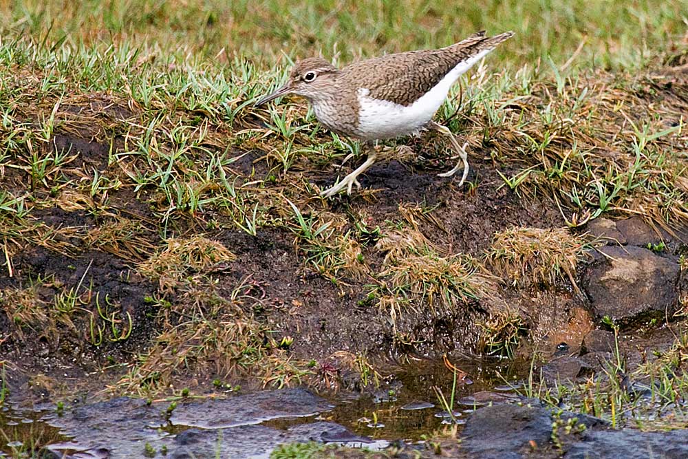
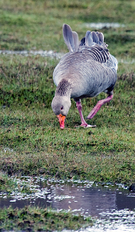
Loch Loch a' Chumhainn (pronounced Cuin) immediately south of the village is another of Mull's birdwatching 'hot spots' and easy checked. Dipper and Grey Wagtail are common around the road bridge over the River Bellart and waders and wildfowl are usually present.
|
|
The largest reed bed on Mull lies on the east side of the B8073 and there`s usually some `avian interest`.
|
|
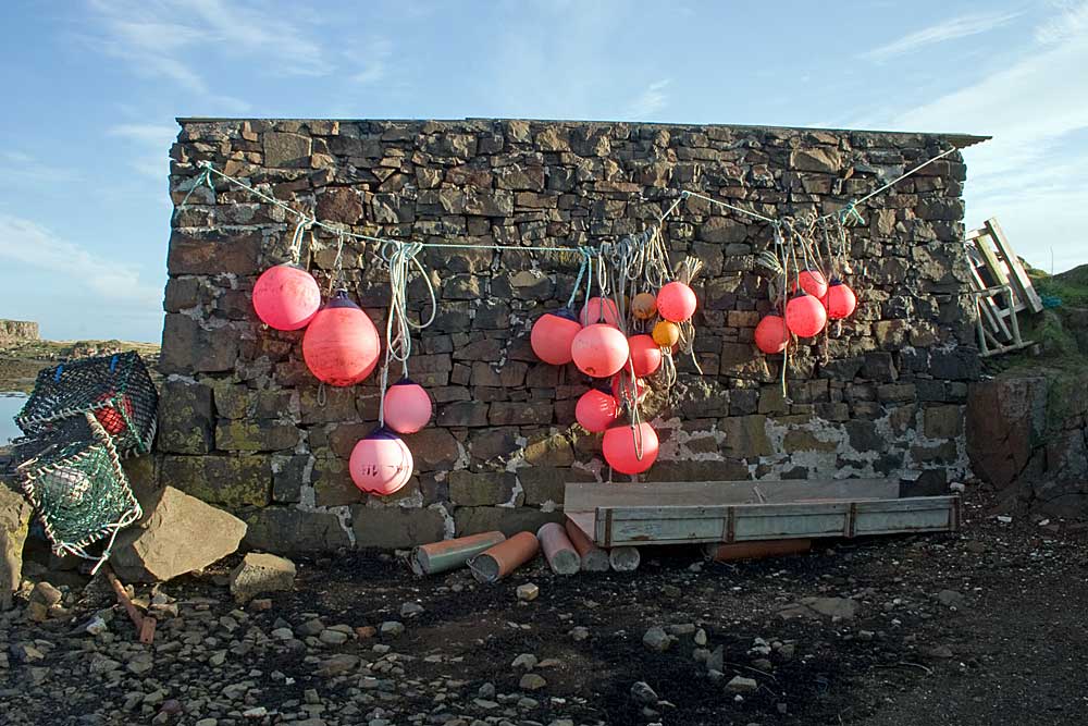
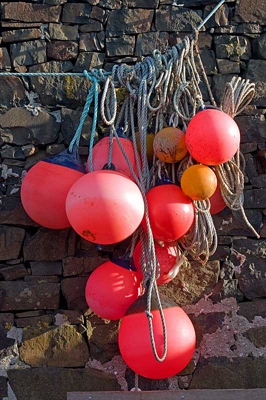
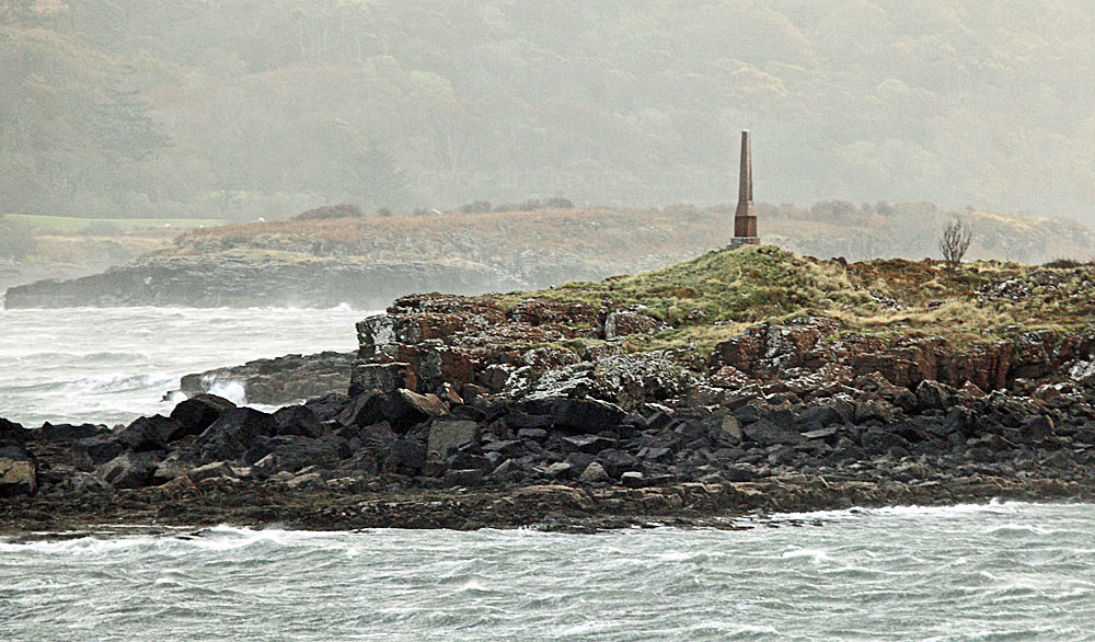
Croig
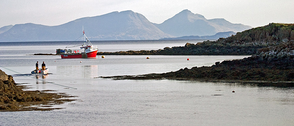
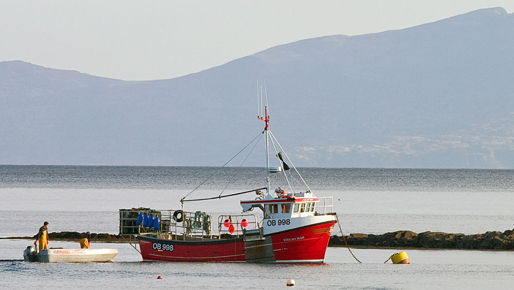
About to set out from Croig, her crew prepare crabber Eilean Ban (OB 998) for a fishing trip on a fine morning in May.
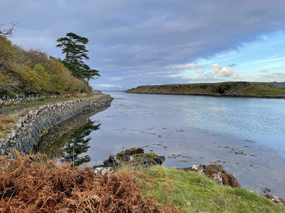
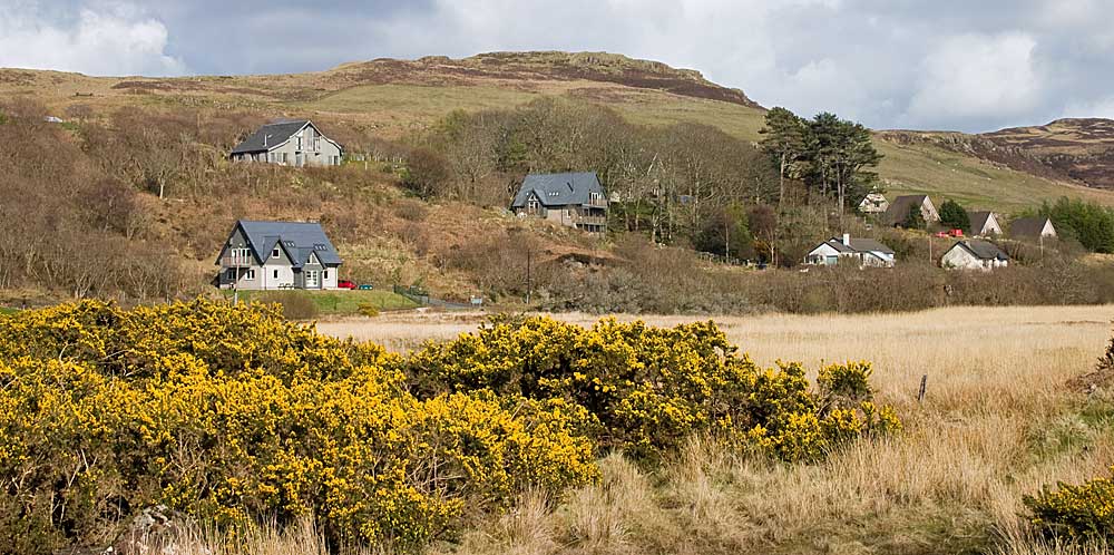
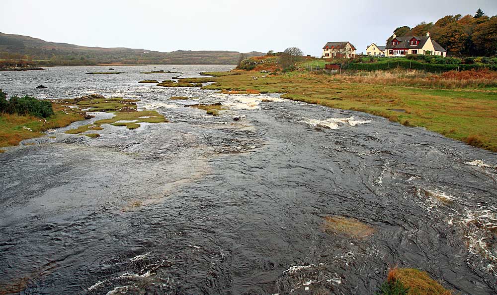
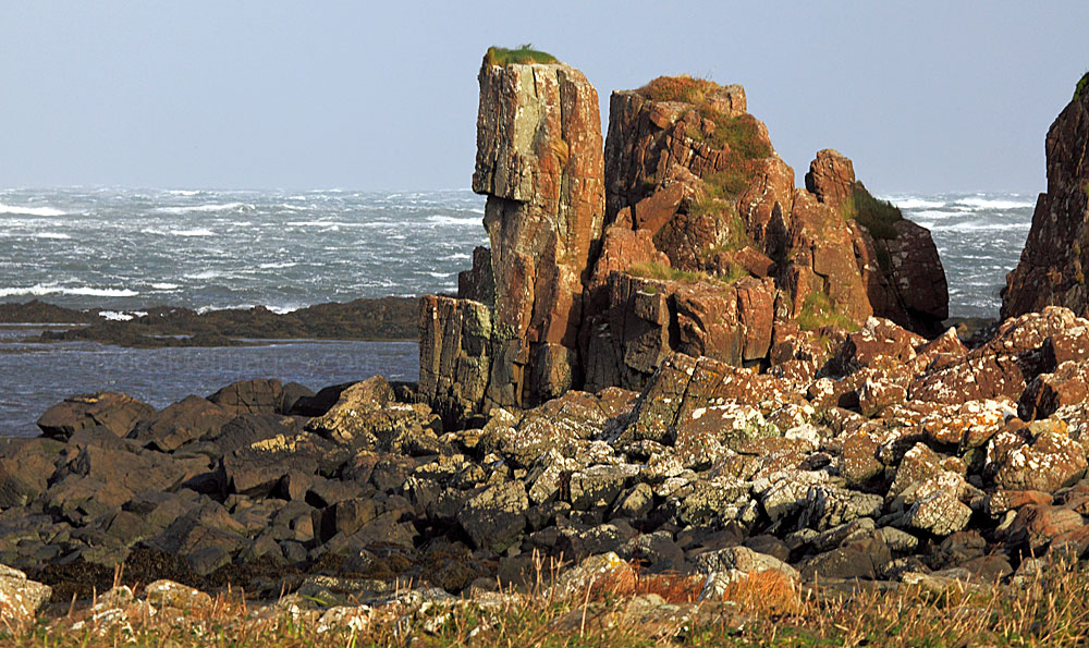
Croig, with its old stone pier, lies at the seaward end of Loch a' Chumhainn and has a `forgotten corner` atmosphere. One downside is that there's only enough space for a few cars next to the harbour and any other potential parking spots along this stretch of single-track road are limited. The small settlement here was a busy place in years gone by when drovers from Coll, en route to the Central Scotland cattle markets, would land their beasts here.
|
|
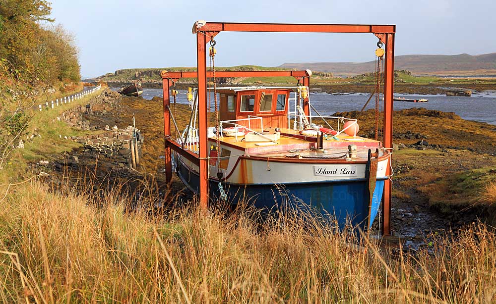
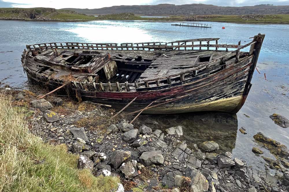
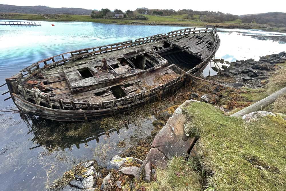
Island Lass out of the water at Croig in October 2014. The 46` long vessel was built by Crinan Boats of Argyll in 1967 and has plied the West Coast of Scotland all her life, mostly with locally based Turus Mara cruises, visiting Staffa and the Treshnish Isles. She had totally disappeared by the time I visited in November 2021, but the hulk further along the road was still toughing it out against the elements.
|
|
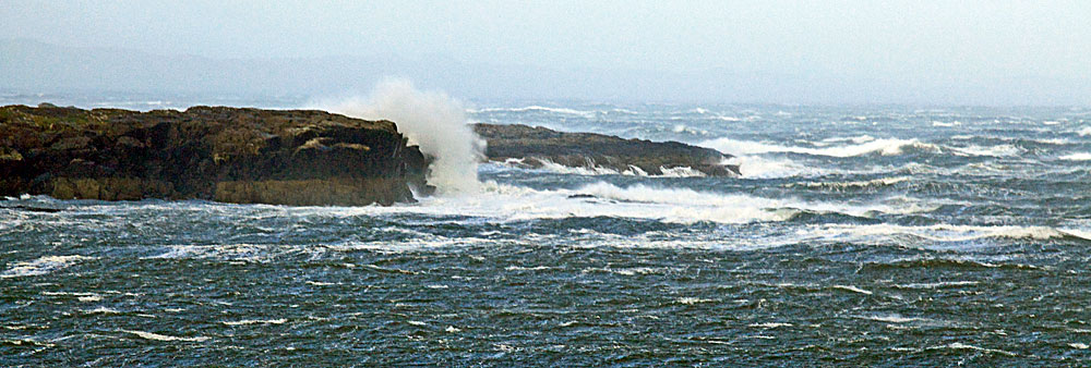
On a fine day, it worth taking time to explore this area. A low headland can be reached in about 10-15 minutes, and a longer walk to an even more spectacular lookout above the cliffs can be reached by following the farm track for another 2km to Torr da Choille before cutting over the gradually ascending ground above Rubha an Aird. This whole stretch of coastline is great for sea-watching and on a clear day low-lying Coll and the hills of Rum and Skye create a spectacular backdrop. When I walked out to the low headland for the first and only time on a stormy October day, I was almost blown off my feet in the gusts.
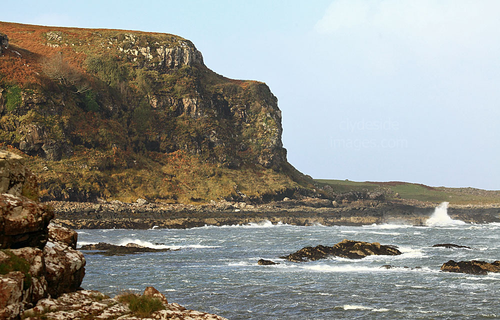
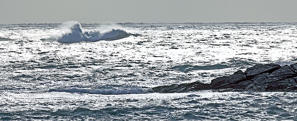
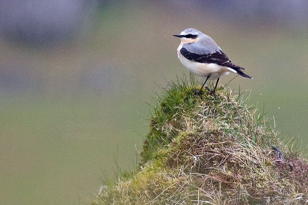
Sea-watching may have proved interesting had I lingered but all I saw were a couple of Rock Pipits hopping about the pebbly shore, staying low for cover, and a flock of Barnacle Geese. Out over the ocean, an occasional Gannet flew past, effortlessly gliding above the white-caps.
|
|
|
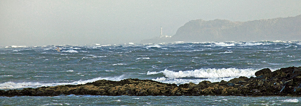
I had to settle for this fleeting view of the Ardnamurchan lighthouse, visible in the far distance between squalls. The remote lighthouse marks the most westerly point on the British mainland and I`d imagine this would have been one of the best places to witness the power of the ocean as the huge waves broke onto the rocky shore.
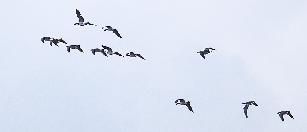
This small flock of Barnacle Geese flew in, looking for a suitable landing spot and after banking a few times, touched-down in an adjacent field, close to where I was standing. |
|
|
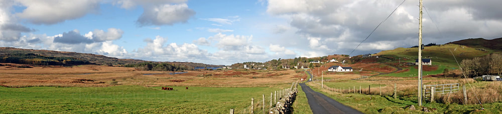
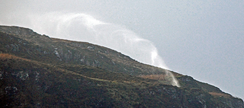
Just south of the Croig turn-off is Calgary Bay. Recognised as one of Scotland and the UK's finest beaches, and backed by a wide area of machair grassland, Calgary's beach is also the island's most accessible and consequently very popular. It`s aptly named as the Gaelic Cala ghearraidh, means `Beach of the meadow`. The bay and surrounding hillsides on either side are excellent for wildlife spotting. Otters inhabit this area and can be seen anywhere along this stretch of coast. During our drive back to our rental cottage, all along the island's rugged west coast high-ground waterfalls, even those in relatively sheltered gullies, were being blown back uphill creating long streamers of spray above the skyline.
|
|
Calgary Bay
|
Hills & Mountains
|
Lochdon & The Grasspoint Road
|
|
Arran
|
Bass Rock
|
Islay
|
|
Orkney Islands
|
Please bear in mind that all my images are subject to copyright. They are not free to use and have been embedded with a digital watermark.